Transport Functions
Multimodal
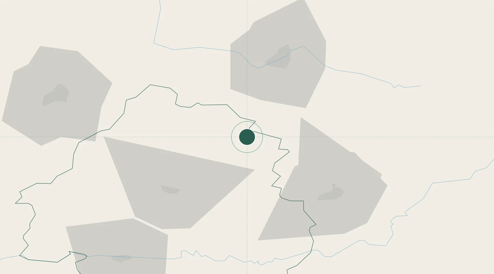
Hub Profile
Place type
Populated place
Region
Nouvelle-Aquitaine
Population
436
Time zone
Europe/Paris
Elevation
331 m
Location
Nearby Logistics Neighbours
Cities
- 1Jumilhac-le-Grand5 km
- 2Saint-Médard-d'Excideuil15 km
- 3Saint-Hilaire-les-Places22 km
- 4Châlus25 km
- 5Meuzac27 km
Ports
- 1Ambes138 km
- 2Blaye144 km
- 3Bordeaux147 km
- 4Pauillac149 km
- 5Tonnay Charente166 km
Airports
Trade Zones
- 1Port de Bordeaux143 km
- 2ZFU Hauts de Garonne150 km
- 3ZFU Clermont-Ferrand157 km
- 4ZFU La Rochelle197 km
- 5ZFU Bourges204 km
DatabookThe Record of Consolidated Knowledge
France beyond logistics?