Transport Functions
Road
Multimodal
Hub Profile
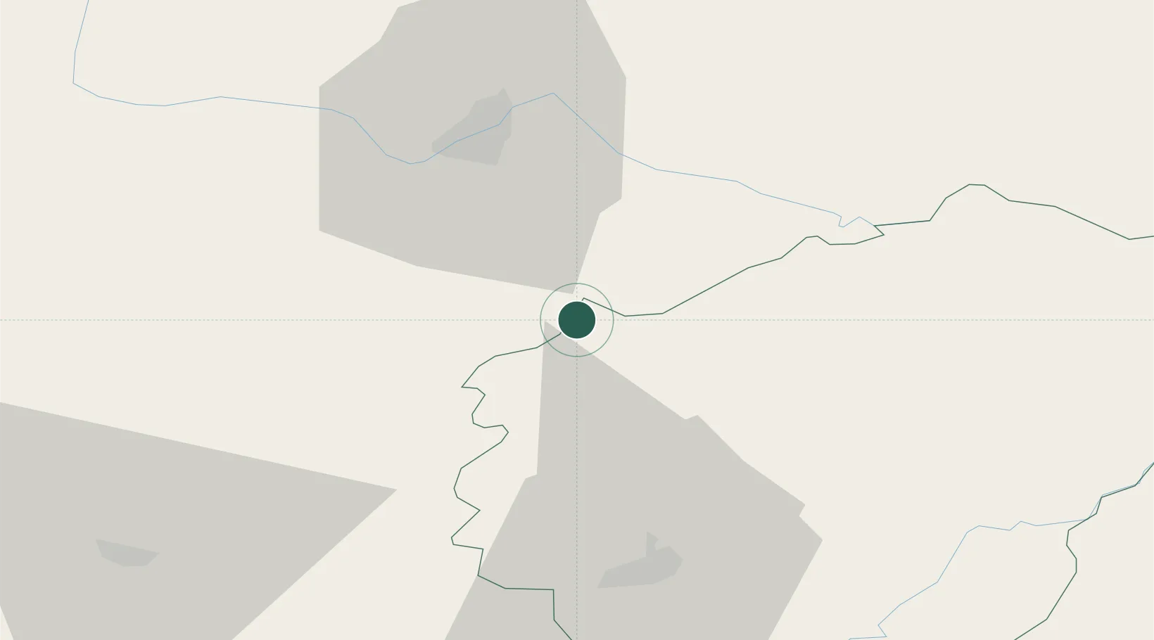
Place type
Populated place
Region
Nouvelle-Aquitaine
Population
717
Time zone
Europe/Paris
Elevation
395 m
Location
Nearby Logistics Neighbours
Cities
- 1Pierre-Buffière18 km
- 2Vigeois20 km
- 3Saint-Hilaire-les-Places25 km
- 4Sarlande27 km
- 5Jumilhac-le-Grand30 km
Ports
- 1Ambes165 km
- 2Blaye171 km
- 3Bordeaux174 km
- 4Pauillac175 km
- 5Tonnay Charente186 km
Airports
- 1Limoges Airport40 km
- 2Brive Souillac airport57 km
- 3Périgueux-Bassillac Airport62 km
- 4Angoulême Brie-Champniers airport96 km
- 5Montluçon-Guéret Airport104 km
Trade Zones
- 1ZFU Clermont-Ferrand131 km
- 2Port de Bordeaux170 km
- 3ZFU Hauts de Garonne177 km
- 4ZFU Bourges183 km
- 5ZFU La Rochelle216 km
DatabookThe Record of Consolidated Knowledge
France beyond logistics?