Transport Functions
Road
Multimodal
Hub Profile
Place type
Populated place
Region
Nouvelle-Aquitaine
Time zone
Europe/Paris
Elevation
164 m
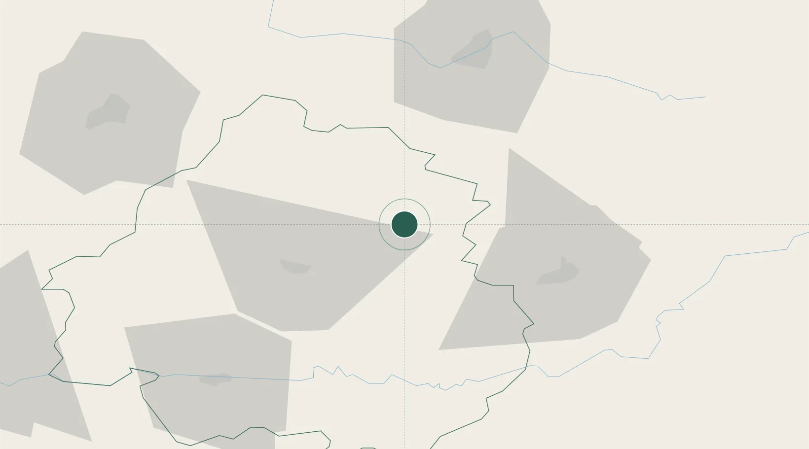
Location
Nearby Logistics Neighbours
Cities
- 1Sarlande15 km
- 2Limeyrat18 km
- 3Jumilhac-le-Grand19 km
- 4Bonneval21 km
- 5Montmoreau23 km
Airports
Trade Zones
- 1Port de Bordeaux134 km
- 2ZFU Hauts de Garonne140 km
- 3ZFU Clermont-Ferrand165 km
- 4ZFU Toulouse193 km
- 5ZFU La Rochelle200 km
DatabookThe Record of Consolidated Knowledge
France beyond logistics?