UN/LOCODE hub · France
FRSHC

Saint-Hilaire-les-Places
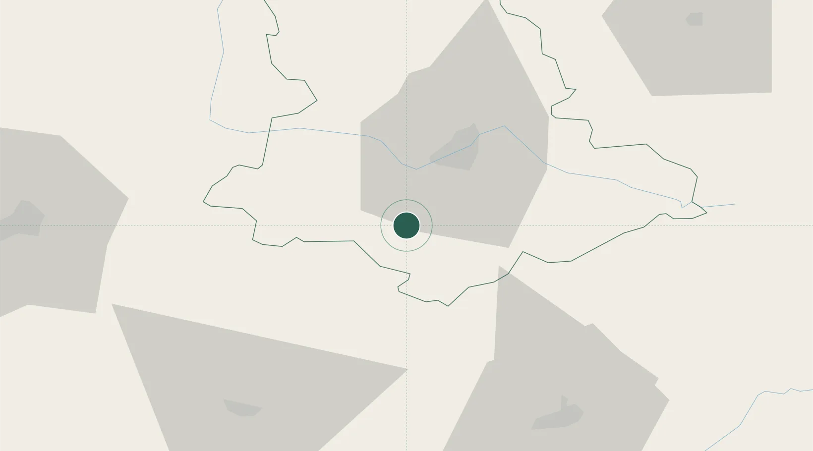
45.6500°, 1.1500°
811
Population
2
Transport functions

Transport Functions

Rail
Road
UN/LOCODE

Hub Profile

Place type
Populated place
GeoNames
Region
Nouvelle-Aquitaine
GeoNames
Population
811
GeoNames
Time zone
Europe/Paris
GeoNames
Elevation
402 m
GeoNames

Location

Location of FRSHC
Natural Earth 10m (public domain) · Nouvelle-Aquitaine · FRSHC · 45.65, 1.15GoogleOSMYandex

Nearby Logistics Neighbours

Cities
  1. 1Châlus13 km
  2. 2Champsac17 km
  3. 3Pierre-Buffière17 km
  4. 4Aixe-sur-Vienne17 km
  5. 5Isle18 km
Nearest neighbours — logibook spatial index (haversine) over the source coordinates
Ports
  1. 1Ambes149 km
  2. 2Blaye153 km
  3. 3Pauillac157 km
  4. 4Bordeaux160 km
  5. 5Tonnay Charente162 km
Nearest neighbours — logibook spatial index (haversine) over the source coordinates
Airports
  1. 1Limoges Airport24 km
  2. 2Périgueux-Bassillac Airport57 km
  3. 3Angoulême Brie-Champniers airport73 km
  4. 4Brive Souillac airport73 km
  5. 5Bergerac Dordogne-Périgord airport104 km
Nearest neighbours — logibook spatial index (haversine) over the source coordinates
Trade Zones
  1. 1ZFU Clermont-Ferrand150 km
  2. 2Port de Bordeaux156 km
  3. 3ZFU Hauts de Garonne163 km
  4. 4ZFU Bourges183 km
  5. 5ZFU La Rochelle191 km
Nearest neighbours — logibook spatial index (haversine) over the source coordinates
DatabookThe Record of Consolidated Knowledge
France beyond logistics?
Browse databook

All Sources

LocationsUN/LOCODE
UN/LOCODE — free
LocationsGeoNames
CC BY 4.0
Portsthe NGA World Port Index
Public domain (US gov)
AirportsOurAirports
Public domain
Trade Zonesthe World Bank SEZ database
CC BY 4.0
Trade ZonesOpen Zone Map
CC BY
← France locations