UN/LOCODE hub · France
FRJUH
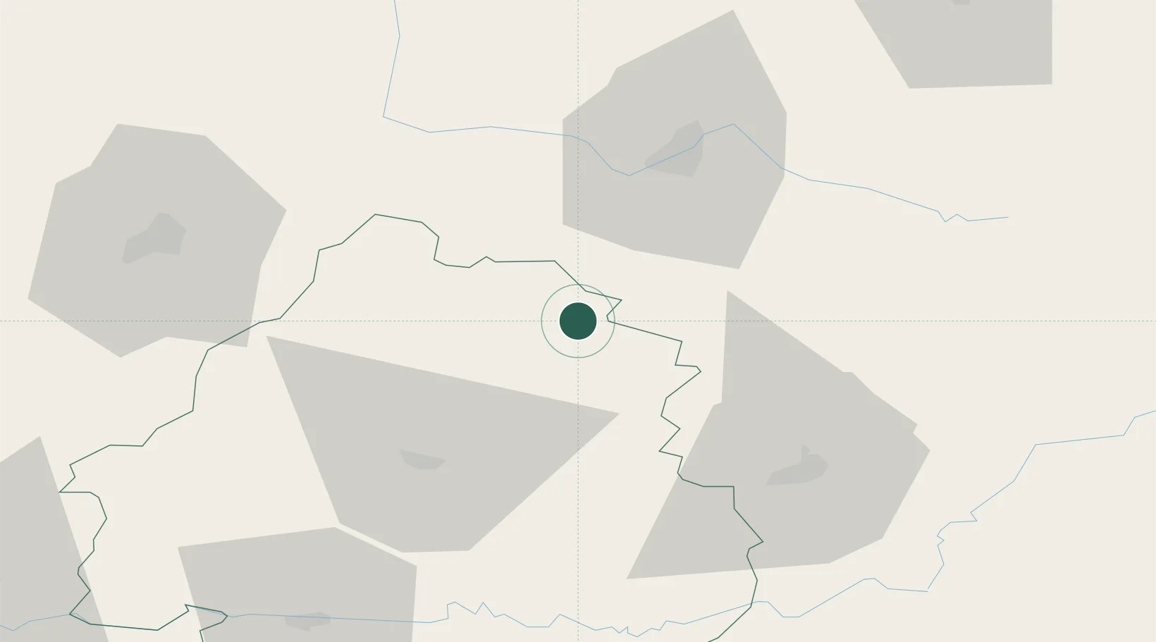
Jumilhac-le-Grand
45.4833°, 1.0667°
1,344
Population
2
Transport functions
Transport Functions
Road
Multimodal
Hub Profile
Place type
Populated place
Region
Nouvelle-Aquitaine
Population
1,344
Time zone
Europe/Paris
Elevation
289 m
Location
Nearby Logistics Neighbours
Cities
- 1Sarlande5 km
- 2Saint-Médard-d'Excideuil19 km
- 3Saint-Hilaire-les-Places20 km
- 4Châlus20 km
- 5Champsac26 km
Ports
- 1Ambes136 km
- 2Blaye141 km
- 3Bordeaux145 km
- 4Pauillac145 km
- 5Tonnay Charente161 km
Airports
Trade Zones
- 1Port de Bordeaux141 km
- 2ZFU Hauts de Garonne148 km
- 3ZFU Clermont-Ferrand160 km
- 4ZFU La Rochelle192 km
- 5ZFU Bourges202 km
DatabookThe Record of Consolidated Knowledge
France beyond logistics?