Transport Functions
Rail
Road
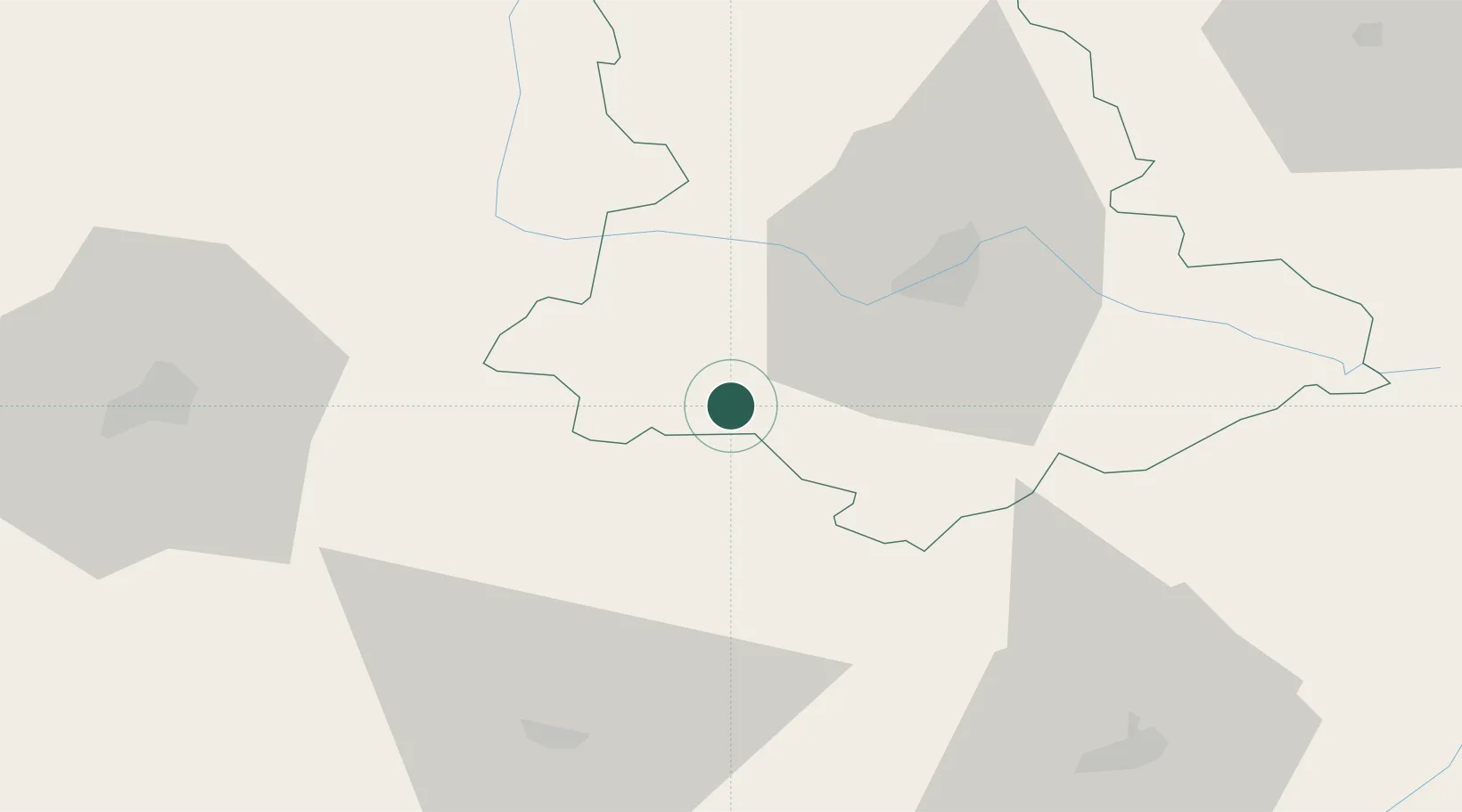
Hub Profile
Place type
Populated place
Region
Nouvelle-Aquitaine
Population
1,867
Time zone
Europe/Paris
Elevation
379 m
Location
Nearby Logistics Neighbours
Cities
- 1Champsac6 km
- 2Saint-Hilaire-les-Places13 km
- 3Oradour-sur-Vayres13 km
- 4Saint-Laurent-sur-Gorre13 km
- 5Jumilhac-le-Grand20 km
Ports
- 1Ambes138 km
- 2Blaye141 km
- 3Pauillac144 km
- 4Bordeaux149 km
- 5Tonnay Charente149 km
Airports
Trade Zones
- 1Port de Bordeaux145 km
- 2ZFU Hauts de Garonne153 km
- 3ZFU Clermont-Ferrand163 km
- 4ZFU La Rochelle179 km
- 5ZFU Bourges189 km
DatabookThe Record of Consolidated Knowledge
France beyond logistics?