Transport Functions
Multimodal
Hub Profile
Place type
Populated place
Region
Centre-Val de Loire
Population
757
Time zone
Europe/Paris
Elevation
111 m
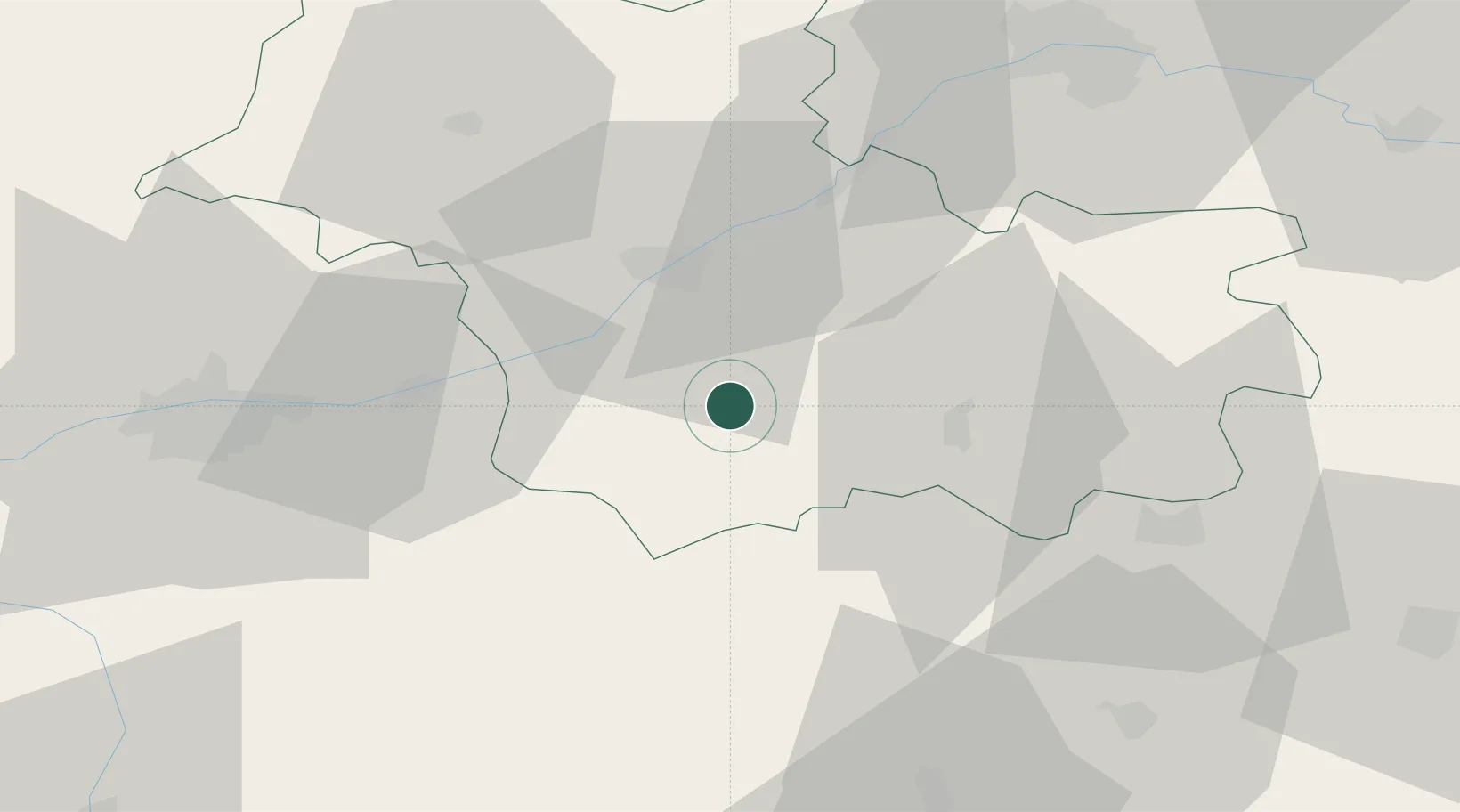
Location
Nearby Logistics Neighbours
Cities
- 1Le Controis-en-Sologne2 km
- 2Fresnes4 km
- 3Couddes5 km
- 4Feings7 km
- 5Choussy7 km
Ports
- 1Nantes227 km
- 2Port Of Rouen230 km
- 3Port De Caen238 km
- 4Deauville240 km
- 5La Rochelle241 km
Airports
- 1Tours Val de Loire Airport53 km
- 2Châteauroux Déols airport64 km
- 3Orléans-Bricy (BA 123) Air Base70 km
- 4Châteaudun Airfield73 km
- 5Bourges airport80 km
Trade Zones
- 1ZFU Blois24 km
- 2ZFU Orléans61 km
- 3ZFU Bourges77 km
- 4ZFU Le Mans117 km
- 5ZFU Dreux et Sainte-Gemme-Moronval150 km
DatabookThe Record of Consolidated Knowledge
France beyond logistics?