Transport Functions
Multimodal
Hub Profile
Place type
Populated place
Region
Centre-Val de Loire
Population
247
Time zone
Europe/Paris
Elevation
99 m
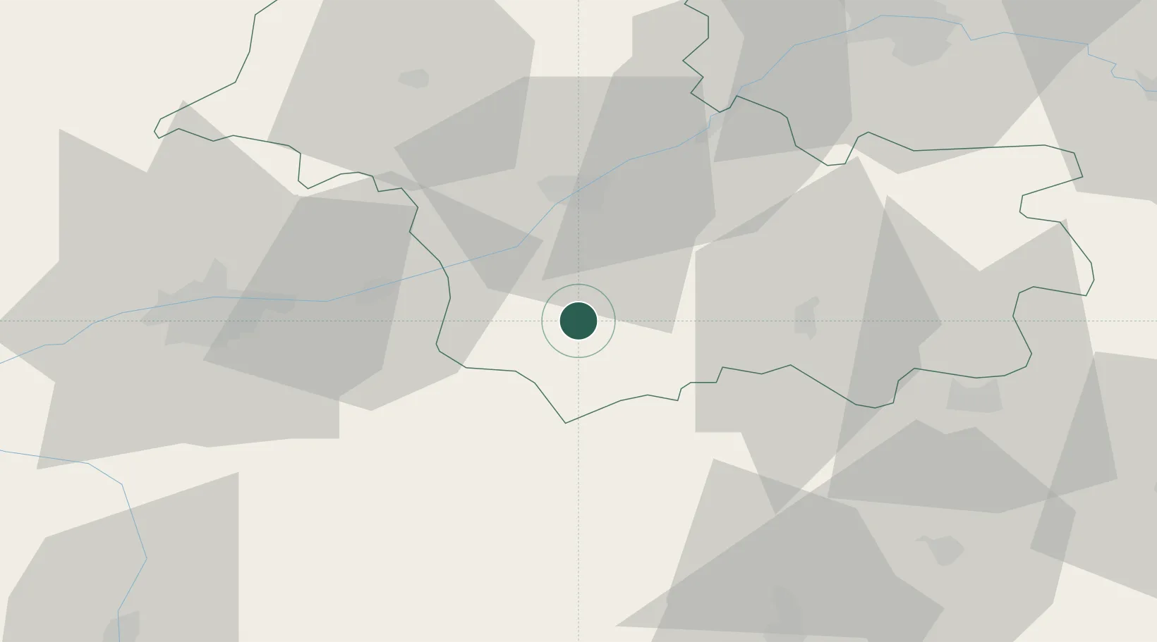
Location
Nearby Logistics Neighbours
Cities
- 1Couddes4 km
- 2Monthou-sur-Cher4 km
- 3Thenay5 km
- 4Sassay7 km
- 5Feings7 km
Ports
- 1Nantes221 km
- 2Port Of Rouen233 km
- 3La Rochelle234 km
- 4Tonnay Charente234 km
- 5La Pallice237 km
Airports
- 1Tours Val de Loire Airport47 km
- 2Châteauroux Déols airport63 km
- 3Orléans-Bricy (BA 123) Air Base76 km
- 4Châteaudun Airfield77 km
- 5Bourges airport84 km
Trade Zones
- 1ZFU Blois25 km
- 2ZFU Orléans67 km
- 3ZFU Bourges81 km
- 4ZFU Le Mans114 km
- 5ZFU Angers147 km
DatabookThe Record of Consolidated Knowledge
France beyond logistics?