Transport Functions
Port
Road
Multimodal
Hub Profile
Region
41
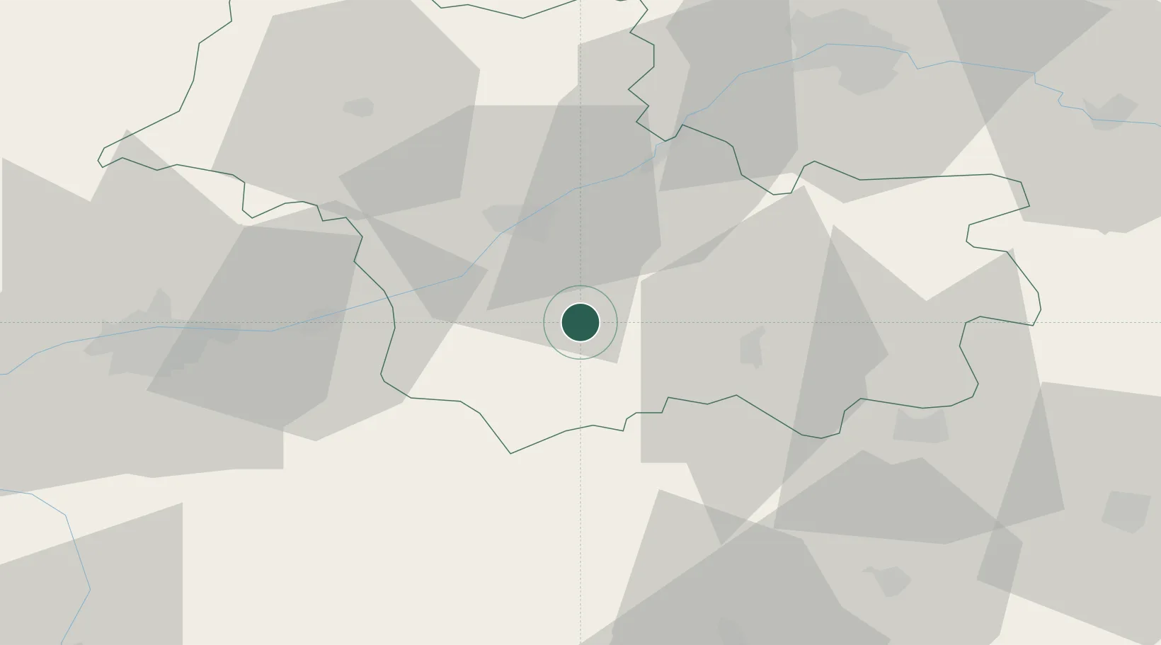
Location
Nearby Logistics Neighbours
Ports
- 1Port Of Rouen228 km
- 2Nantes229 km
- 3Port De Caen237 km
- 4Deauville239 km
- 5Honfleur240 km
Airports
- 1Tours Val de Loire Airport54 km
- 2Châteauroux Déols airport65 km
- 3Orléans-Bricy (BA 123) Air Base68 km
- 4Châteaudun Airfield72 km
- 5Bourges airport80 km
Trade Zones
- 1ZFU Blois23 km
- 2ZFU Orléans59 km
- 3ZFU Bourges76 km
- 4ZFU Le Mans117 km
- 5ZFU Dreux et Sainte-Gemme-Moronval148 km
DatabookThe Record of Consolidated Knowledge
France beyond logistics?