Transport Functions
Port
Road
Hub Profile
Place type
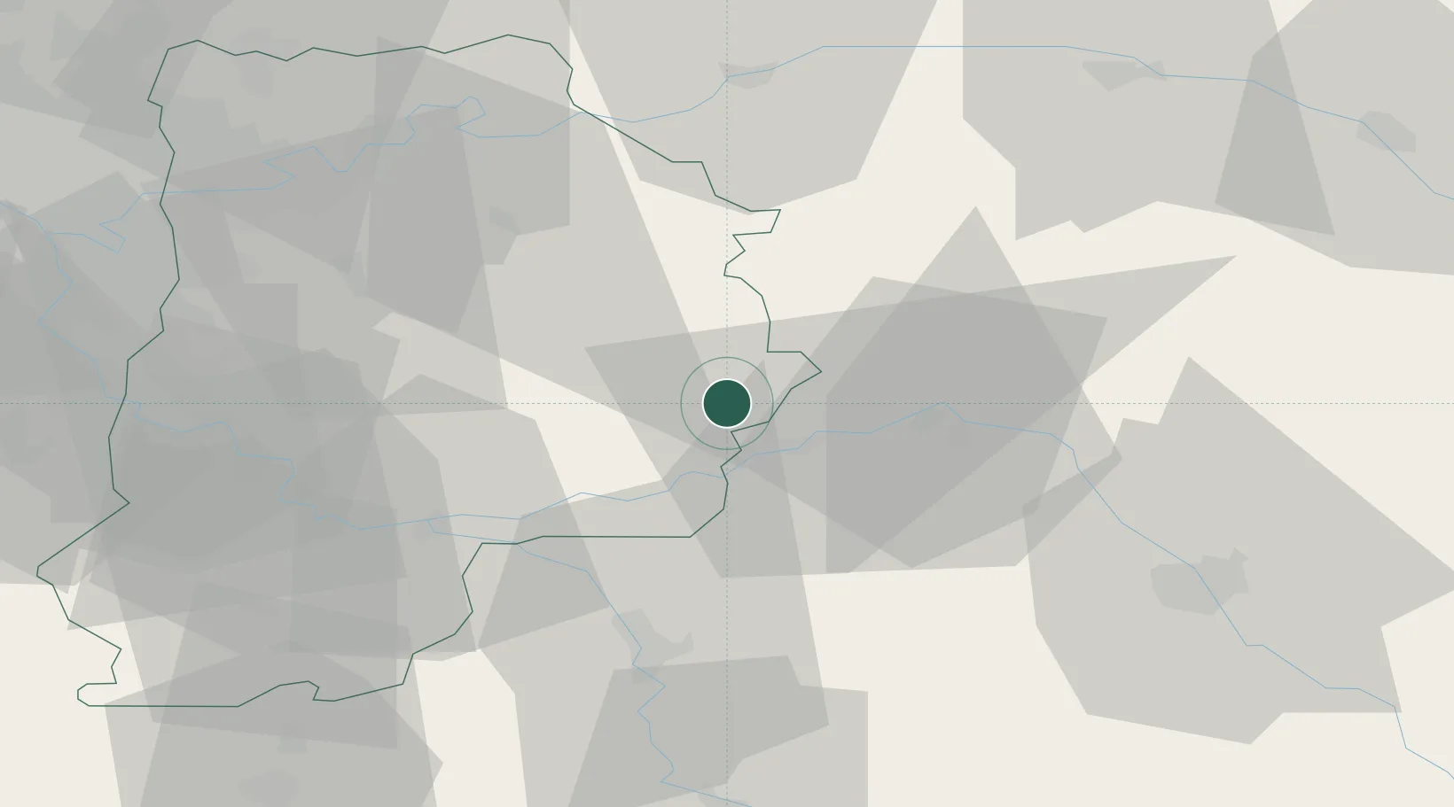
Populated place
Region
Brittany
Time zone
Europe/Paris
Elevation
46 m
Location
Nearby Logistics Neighbours
Cities
- 1Le Mériot8 km
- 2Poigny9 km
- 3Longueville12 km
- 4Noyen-sur-Seine14 km
- 5Jutigny14 km
Ports
- 1Port Of Rouen197 km
- 2Saint-Valery-Sur-Somme221 km
- 3Le Treport223 km
- 4Dieppe227 km
- 5Honfleur251 km
Airports
Trade Zones
DatabookThe Record of Consolidated Knowledge
France beyond logistics?