Transport Functions
Multimodal
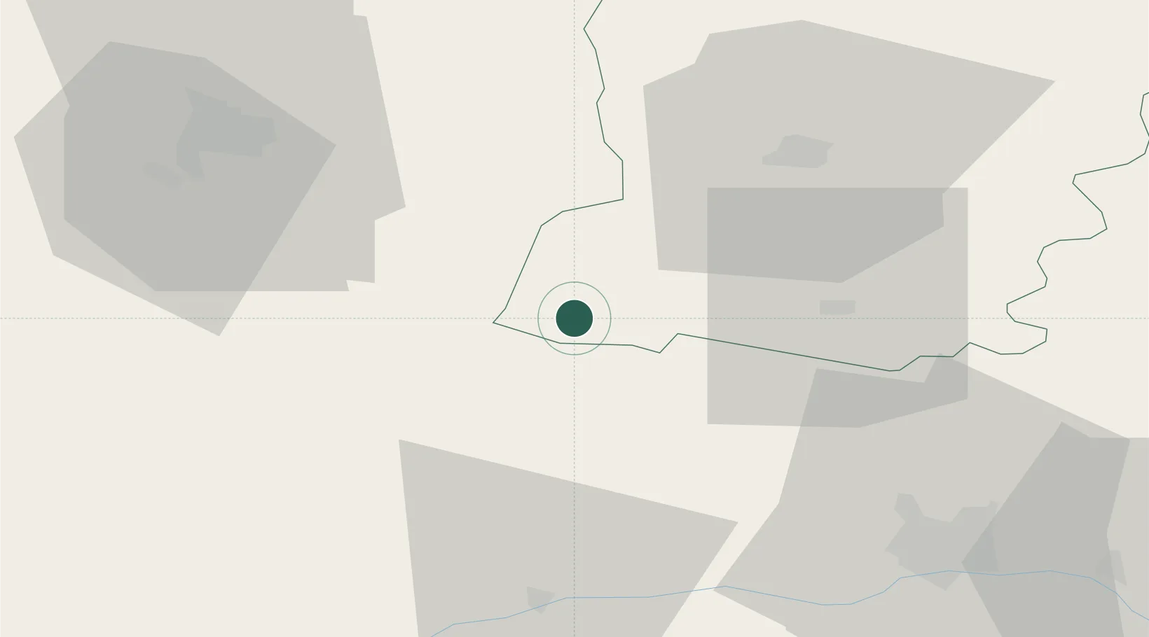
Hub Profile
Place type
Populated place
Region
Pays de la Loire
Population
1,087
Time zone
Europe/Paris
Elevation
83 m
Location
Nearby Logistics Neighbours
Cities
- 1Pouancé8 km
- 2Craon13 km
- 3Martigné-Ferchaud15 km
- 4Pommerieux16 km
- 5Retiers21 km
Ports
- 1Nantes76 km
- 2Donges92 km
- 3Montoir96 km
- 4St Nazaire101 km
- 5Saint-Malo114 km
Airports
Trade Zones
- 1ZFU Angers54 km
- 2ZFU Nantes et Saint-Herblain79 km
- 3ZFU Le Mans94 km
- 4ZFU Saint-Nazaire106 km
- 5ZFU Alençon112 km
DatabookThe Record of Consolidated Knowledge
France beyond logistics?