UN/LOCODE hub · France
FRMFC
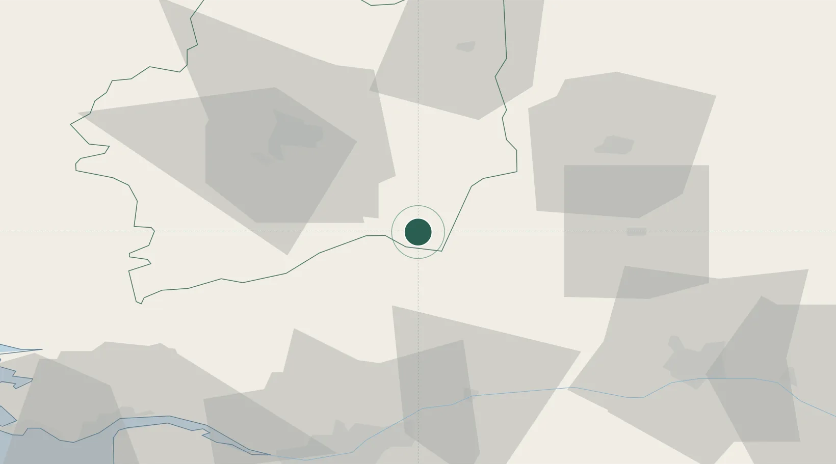
Martigné-Ferchaud
47.8333°, -1.3167°
2,619
Population
2
Transport functions
Transport Functions
Rail
Road
Hub Profile
Place type
Populated place
Region
Brittany
Population
2,619
Time zone
Europe/Paris
Elevation
103 m
Location
Nearby Logistics Neighbours
Cities
- 1Retiers8 km
- 2Pouancé15 km
- 3Congrier15 km
- 4le Château Renard17 km
- 5Janzé19 km
Ports
- 1Nantes73 km
- 2Donges82 km
- 3Montoir85 km
- 4St Nazaire90 km
- 5Saint-Malo105 km
Airports
Trade Zones
- 1ZFU Angers67 km
- 2ZFU Nantes et Saint-Herblain74 km
- 3ZFU Saint-Nazaire95 km
- 4ZFU Le Mans109 km
- 5ZFU Alençon123 km
DatabookThe Record of Consolidated Knowledge
France beyond logistics?