Transport Functions
Road
Multimodal
Hub Profile
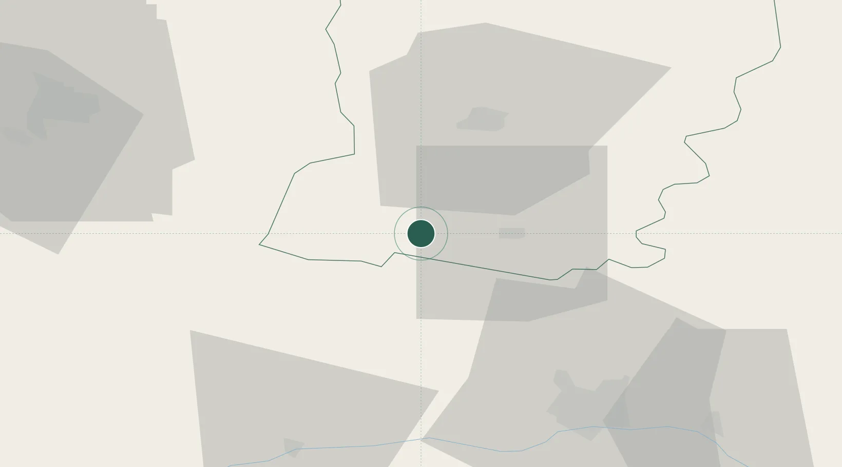
Place type
Populated place
Region
Pays de la Loire
Population
614
Time zone
Europe/Paris
Elevation
72 m
Location
Nearby Logistics Neighbours
Cities
- 1Craon4 km
- 2Loigné-sur-Mayenne12 km
- 3Château-Gontier15 km
- 4Congrier16 km
- 5Segré17 km
Ports
- 1Nantes86 km
- 2Donges106 km
- 3Montoir110 km
- 4St Nazaire115 km
- 5Granville123 km
Airports
- 1Laval-Entrammes Airport25 km
- 2Angers Marcé airport53 km
- 3Rennes-Saint-Jacques Airport68 km
- 4Le Mans-Arnage Airport83 km
- 5Nantes Atlantique Airport93 km
Trade Zones
- 1ZFU Angers45 km
- 2ZFU Le Mans78 km
- 3ZFU Nantes et Saint-Herblain91 km
- 4ZFU Alençon98 km
- 5ZFU Saint-Nazaire120 km
DatabookThe Record of Consolidated Knowledge
France beyond logistics?