Transport Functions
Rail
Road
Hub Profile
Place type
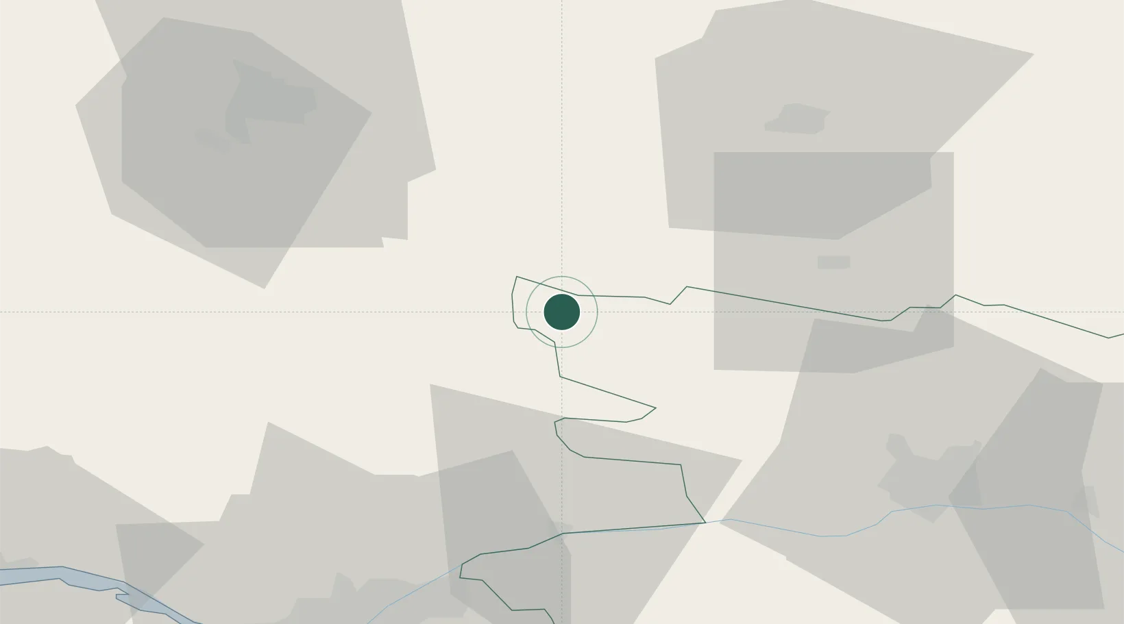
Populated place
Region
Pays de la Loire
Population
3,559
Time zone
Europe/Paris
Elevation
86 m
Location
Nearby Logistics Neighbours
Cities
- 1Congrier8 km
- 2Martigné-Ferchaud15 km
- 3Craon20 km
- 4Grand-Auverné21 km
- 5Pommerieux22 km
Ports
- 1Nantes68 km
- 2Donges84 km
- 3Montoir88 km
- 4St Nazaire93 km
- 5Saint-Malo118 km
Airports
Trade Zones
- 1ZFU Angers52 km
- 2ZFU Nantes et Saint-Herblain71 km
- 3ZFU Saint-Nazaire98 km
- 4ZFU Le Mans100 km
- 5ZFU Alençon120 km
DatabookThe Record of Consolidated Knowledge
France beyond logistics?