Transport Functions
Rail
Road
Hub Profile
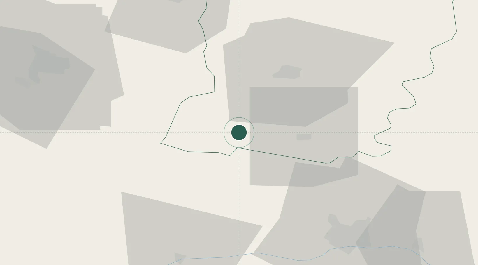
Place type
Populated place
Region
Pays de la Loire
Population
5,130
Time zone
Europe/Paris
Elevation
49 m
Location
Nearby Logistics Neighbours
Cities
- 1Pommerieux4 km
- 2Congrier13 km
- 3Loigné-sur-Mayenne15 km
- 4Château-Gontier19 km
- 5Segré20 km
Ports
- 1Nantes86 km
- 2Donges104 km
- 3Montoir108 km
- 4St Nazaire113 km
- 5Saint-Malo119 km
Airports
- 1Laval-Entrammes Airport25 km
- 2Angers Marcé airport58 km
- 3Rennes-Saint-Jacques Airport63 km
- 4Le Mans-Arnage Airport87 km
- 5Nantes Atlantique Airport92 km
Trade Zones
- 1ZFU Angers49 km
- 2ZFU Le Mans82 km
- 3ZFU Nantes et Saint-Herblain90 km
- 4ZFU Alençon100 km
- 5ZFU Saint-Nazaire118 km
DatabookThe Record of Consolidated Knowledge
France beyond logistics?