Transport Functions
Rail
Road
Hub Profile
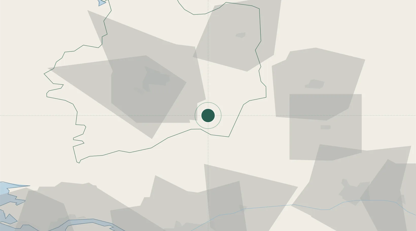
Place type
Populated place
Region
Brittany
Population
3,536
Time zone
Europe/Paris
Elevation
72 m
Location
Nearby Logistics Neighbours
Cities
- 1Martigné-Ferchaud8 km
- 2Janzé11 km
- 3le Château Renard19 km
- 4Congrier21 km
- 5Pouancé22 km
Ports
- 1Nantes79 km
- 2Donges85 km
- 3Montoir88 km
- 4St Nazaire93 km
- 5Saint-Malo96 km
Airports
Trade Zones
- 1ZFU Angers74 km
- 2ZFU Nantes et Saint-Herblain79 km
- 3ZFU Saint-Nazaire97 km
- 4ZFU Le Mans112 km
- 5ZFU Alençon122 km
DatabookThe Record of Consolidated Knowledge
France beyond logistics?