UN/LOCODE hub · France
FRVH4
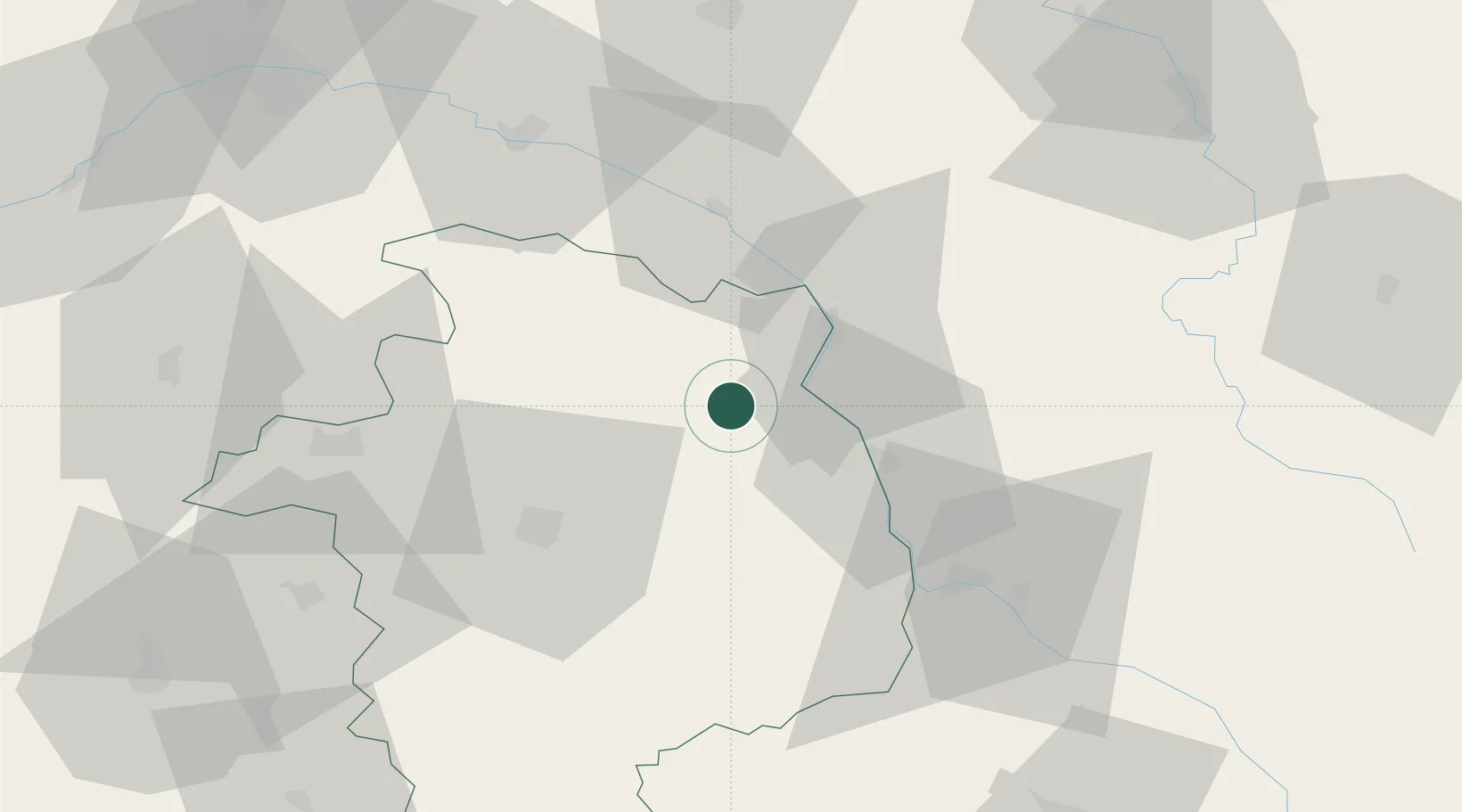
Crézancy-en-Sancerre
47.3000°, 2.7500°
504
Population
2
Transport functions
Transport Functions
Port
Multimodal
Hub Profile
Place type
Populated place
Region
Centre-Val de Loire
Population
504
Time zone
Europe/Paris
Elevation
265 m
Location
Nearby Logistics Neighbours
Cities
- 1Reigny0 km
- 2Bué4 km
- 3Neuilly-en-Sancerre5 km
- 4Veaugues6 km
- 5Menetou-Râtel6 km
Ports
- 1Port Of Rouen270 km
- 2Honfleur301 km
- 3Deauville303 km
- 4Port De Caen311 km
- 5Port Of Le Havre311 km
Airports
- 1Avord (BA 702) Air Base29 km
- 2Bourges airport39 km
- 3Nevers-Fourchambault Airport43 km
- 4Auxerre Branches airport83 km
- 5Châteauroux Déols airport92 km
Trade Zones
- 1ZFU Bourges40 km
- 2ZFU Orléans93 km
- 3ZFU Sens107 km
- 4ZFU Blois116 km
- 5ZFU Montereau-Fault-Yonne122 km
DatabookThe Record of Consolidated Knowledge
France beyond logistics?