UN/LOCODE hub · France
FRRSS
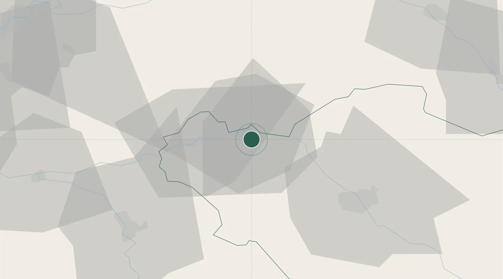
Romilly-sur-Seine
48.5167°, 3.7167°
14,566
Population
1
Transport functions
Transport Functions
Rail
Hub Profile
Place type
Populated place
Region
Grand Est
Population
14,566
Time zone
Europe/Paris
Elevation
74 m
Location
Nearby Logistics Neighbours
Cities
- 1Pont-sur-Seine10 km
- 2Montgenost13 km
- 3Bethon13 km
- 4Fontaine-les-Grès18 km
- 5Saudoy19 km
Ports
- 1Port Of Rouen220 km
- 2Saint-Valery-Sur-Somme240 km
- 3Le Treport242 km
- 4Dieppe248 km
- 5Bruxelles265 km
Airports
Trade Zones
DatabookThe Record of Consolidated Knowledge
France beyond logistics?