Transport Functions
Multimodal
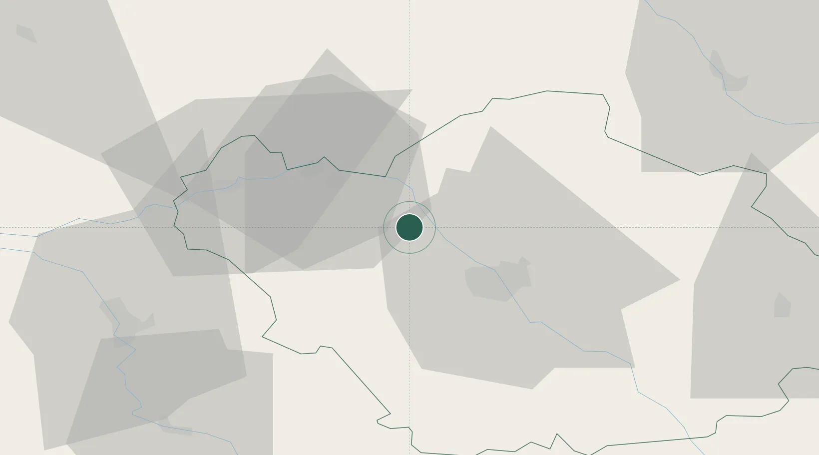
Hub Profile
Place type
Populated place
Region
Grand Est
Population
917
Time zone
Europe/Paris
Elevation
95 m
Location
Nearby Logistics Neighbours
Cities
- 1Barberey-Saint-Sulpice14 km
- 2Sainte-Savine17 km
- 3Plancy-l'Abbaye17 km
- 4Romilly-sur-Seine18 km
- 5Lavau18 km
Ports
- 1Port Of Rouen237 km
- 2Saint-Valery-Sur-Somme257 km
- 3Le Treport260 km
- 4Dieppe265 km
- 5Bruxelles274 km
Airports
Trade Zones
DatabookThe Record of Consolidated Knowledge
France beyond logistics?