Transport Functions
Port
Hub Profile
Place type
Populated place
Region
Grand Est
Population
340
Time zone
Europe/Paris
Elevation
115 m
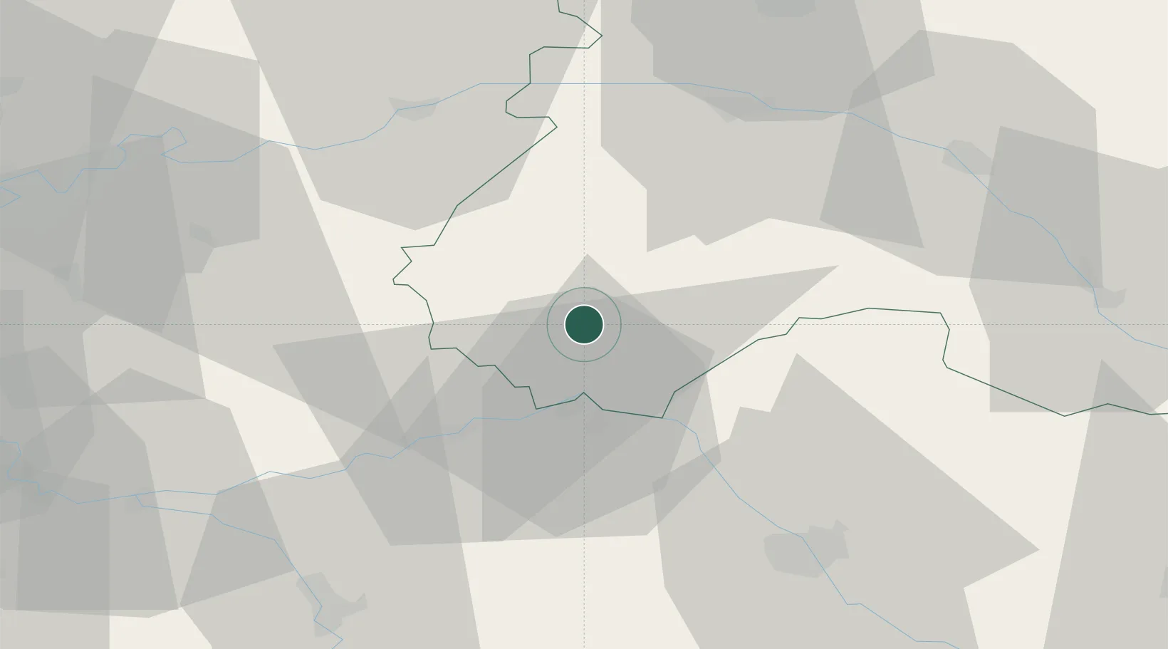
Location
Nearby Logistics Neighbours
Cities
- 1Montgenost13 km
- 2Bethon13 km
- 3Talus-Saint-Prix17 km
- 4Villevenard18 km
- 5Romilly-sur-Seine19 km
Ports
- 1Port Of Rouen211 km
- 2Saint-Valery-Sur-Somme226 km
- 3Le Treport229 km
- 4Dieppe236 km
- 5Bruxelles247 km
Airports
Trade Zones
DatabookThe Record of Consolidated Knowledge
France beyond logistics?