Transport Functions
Multimodal
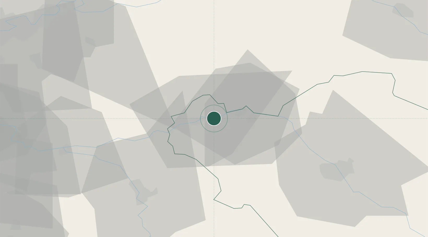
Hub Profile
Place type
Populated place
Region
Grand Est
Population
952
Time zone
Europe/Paris
Elevation
67 m
Location
Nearby Logistics Neighbours
Cities
- 1Montgenost9 km
- 2Bethon9 km
- 3Romilly-sur-Seine10 km
- 4Le Mériot10 km
- 5Saint-Pabu15 km
Ports
- 1Port Of Rouen211 km
- 2Saint-Valery-Sur-Somme234 km
- 3Le Treport236 km
- 4Dieppe240 km
- 5Honfleur265 km
Airports
- 1Troyes-Barberey Airport39 km
- 2Chalons Vatry airport54 km
- 3Melun-Villaroche Airfield68 km
- 4Auxerre Branches airport74 km
- 5Paris-Orly Airport91 km
Trade Zones
DatabookThe Record of Consolidated Knowledge
France beyond logistics?