Transport Functions
Multimodal
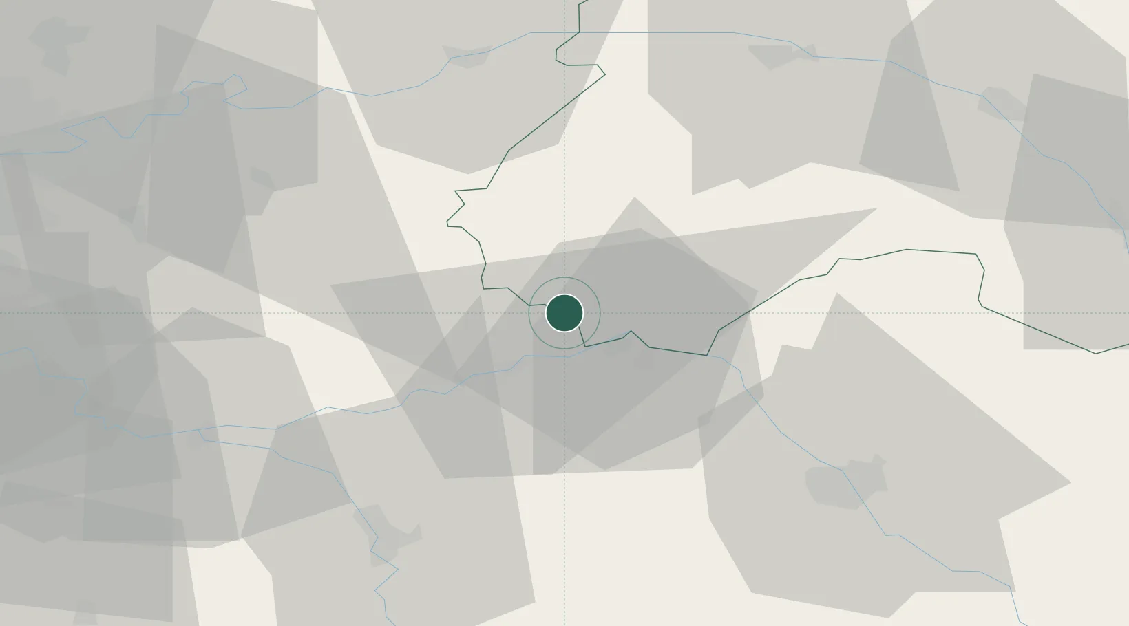
Hub Profile
Place type
Populated place
Region
Grand Est
Population
119
Time zone
Europe/Paris
Elevation
145 m
Location
Nearby Logistics Neighbours
Cities
- 1Bethon0 km
- 2Pont-sur-Seine9 km
- 3Saudoy13 km
- 4Romilly-sur-Seine13 km
- 5Saint-Pabu15 km
Ports
- 1Port Of Rouen208 km
- 2Saint-Valery-Sur-Somme227 km
- 3Le Treport230 km
- 4Dieppe235 km
- 5Bruxelles258 km
Airports
Trade Zones
DatabookThe Record of Consolidated Knowledge
France beyond logistics?