Transport Functions
Port
Road
Hub Profile
Place type
Populated place
Region
Bourgogne
Time zone
Europe/Paris
Elevation
248 m
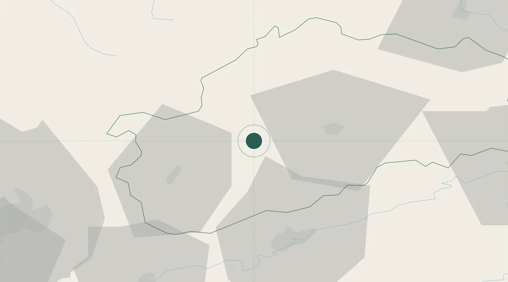
Location
Nearby Logistics Neighbours
Cities
- 1Noidans-le-Ferroux5 km
- 2Savoyeux11 km
- 3Rosey11 km
- 4Mailley-et-Chazelot14 km
- 5Montigny-lès-Vesoul15 km
Ports
- 1Bruxelles382 km
- 2Port Of Rouen411 km
- 3Savona416 km
- 4Ghent417 km
- 5Antwerpen418 km
Airports
Trade Zones
- 1ZFU Besancon40 km
- 2ZFU Montbéliard68 km
- 3ZFU Belfort70 km
- 4ZFU Chenôve75 km
- 5PESA - Port-Franc et Entrepôts de Lausanne-Chavornay SA110 km
DatabookThe Record of Consolidated Knowledge
France beyond logistics?