Transport Functions
Multimodal
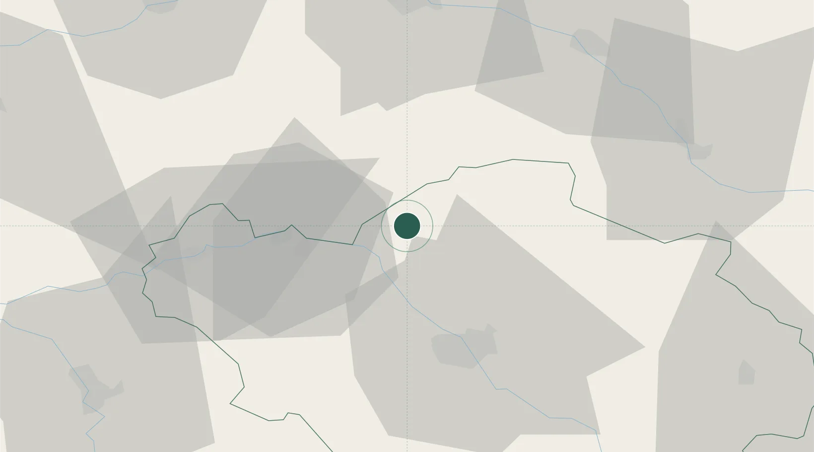
Hub Profile
Place type
Populated place
Region
Grand Est
Population
892
Time zone
Europe/Paris
Elevation
82 m
Location
Nearby Logistics Neighbours
Cities
- 1Fontaine-les-Grès17 km
- 2Montsuzain18 km
- 3Romilly-sur-Seine19 km
- 4Île-de-Batz20 km
- 5Saudoy23 km
Ports
- 1Port Of Rouen233 km
- 2Saint-Valery-Sur-Somme248 km
- 3Le Treport252 km
- 4Bruxelles257 km
- 5Dieppe259 km
Airports
Trade Zones
DatabookThe Record of Consolidated Knowledge
France beyond logistics?