UN/LOCODE hub · France
FRIIX

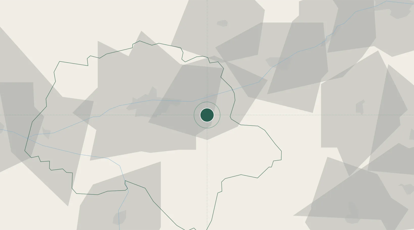
La Croix-en-Touraine

47.3333°, 0.9833°
2,094
Population
2
Transport functions

Transport Functions

Road
Multimodal
UN/LOCODE

Hub Profile

Place type
Populated place
GeoNames
Region
Centre-Val de Loire
GeoNames
Population
2,094
GeoNames
Time zone
Europe/Paris
GeoNames
Elevation
60 m
GeoNames

Location

Location of FRIIX
Natural Earth 10m (public domain) · Centre-Val de Loire · FRIIX · 47.33, 0.98GoogleOSMYandex

Nearby Logistics Neighbours

Cities
  1. 1Dierre3 km
  2. 2Île-d'Houat8 km
  3. 3Francueil8 km
  4. 4Lussault-sur-Loire9 km
  5. 5Azay-sur-Cher10 km
Nearest neighbours — logibook spatial index (haversine) over the source coordinates
Ports
  1. 1Nantes193 km
  2. 2La Rochelle209 km
  3. 3Tonnay Charente212 km
  4. 4La Pallice212 km
  5. 5Rochefort215 km
Nearest neighbours — logibook spatial index (haversine) over the source coordinates
Airports
  1. 1Tours Val de Loire Airport22 km
  2. 2Châteauroux Déols airport77 km
  3. 3Châteaudun Airfield86 km
  4. 4Le Mans-Arnage Airport90 km
  5. 5Orléans-Bricy (BA 123) Air Base93 km
Nearest neighbours — logibook spatial index (haversine) over the source coordinates
Trade Zones
  1. 1ZFU Blois35 km
  2. 2ZFU Orléans88 km
  3. 3ZFU Le Mans97 km
  4. 4ZFU Bourges106 km
  5. 5ZFU Angers120 km
Nearest neighbours — logibook spatial index (haversine) over the source coordinates
DatabookThe Record of Consolidated Knowledge
France beyond logistics?
Browse databook

All Sources

LocationsUN/LOCODE
UN/LOCODE — free
LocationsGeoNames
CC BY 4.0
Portsthe NGA World Port Index
Public domain (US gov)
AirportsOurAirports
Public domain
Trade Zonesthe World Bank SEZ database
CC BY 4.0
Trade ZonesOpen Zone Map
CC BY
← France locations