Transport Functions
Multimodal
Hub Profile
Place type
Populated place
Region
Centre-Val de Loire
Population
1,546
Time zone
Europe/Paris
Elevation
131 m
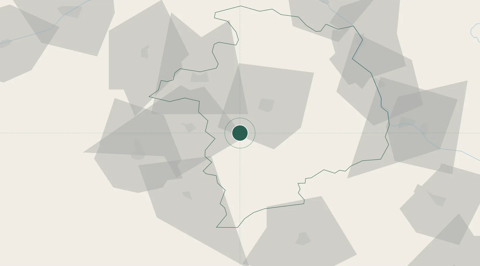
Location
Nearby Logistics Neighbours
Cities
- 1Arçay7 km
- 2Châteauneuf-sur-Cher8 km
- 3Venesmes12 km
- 4Bourges20 km
- 5Preuilly20 km
Ports
- 1Tonnay Charente267 km
- 2Rochefort270 km
- 3La Rochelle275 km
- 4La Pallice280 km
- 5Nantes292 km
Airports
- 1Bourges airport16 km
- 2Avord (BA 702) Air Base31 km
- 3Châteauroux Déols airport42 km
- 4Nevers-Fourchambault Airport65 km
- 5Montluçon-Guéret Airport79 km
Trade Zones
- 1ZFU Bourges17 km
- 2ZFU Blois104 km
- 3ZFU Orléans109 km
- 4ZFU Clermont-Ferrand142 km
- 5ZFU Sens159 km
DatabookThe Record of Consolidated Knowledge
France beyond logistics?