UN/LOCODE hub · France
FRCFH
Châteauneuf-sur-Cher
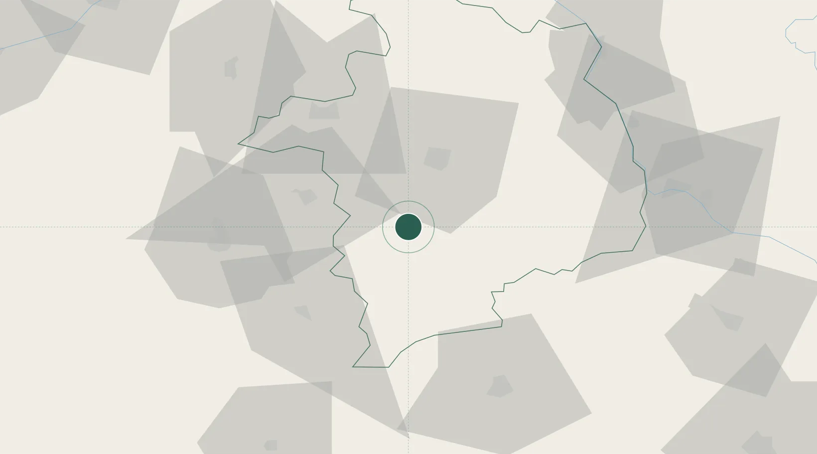
46.8667°, 2.3167°
1,628
Population
2
Transport functions
Transport Functions
Rail
Road
Hub Profile
Place type
Populated place
Region
Centre-Val de Loire
Population
1,628
Time zone
Europe/Paris
Elevation
139 m
Location
Nearby Logistics Neighbours
Cities
- 1Venesmes4 km
- 2Lunery8 km
- 3Arçay10 km
- 4Orval20 km
- 5Saint-Amand-Montrond22 km
Ports
- 1Tonnay Charente268 km
- 2Rochefort271 km
- 3La Rochelle277 km
- 4La Pallice281 km
- 5Nantes297 km
Airports
- 1Bourges airport22 km
- 2Avord (BA 702) Air Base32 km
- 3Châteauroux Déols airport45 km
- 4Nevers-Fourchambault Airport62 km
- 5Montluçon-Guéret Airport72 km
Trade Zones
- 1ZFU Bourges24 km
- 2ZFU Blois112 km
- 3ZFU Orléans118 km
- 4ZFU Clermont-Ferrand134 km
- 5ZFU Sens164 km
DatabookThe Record of Consolidated Knowledge
France beyond logistics?