Transport Functions
Multimodal
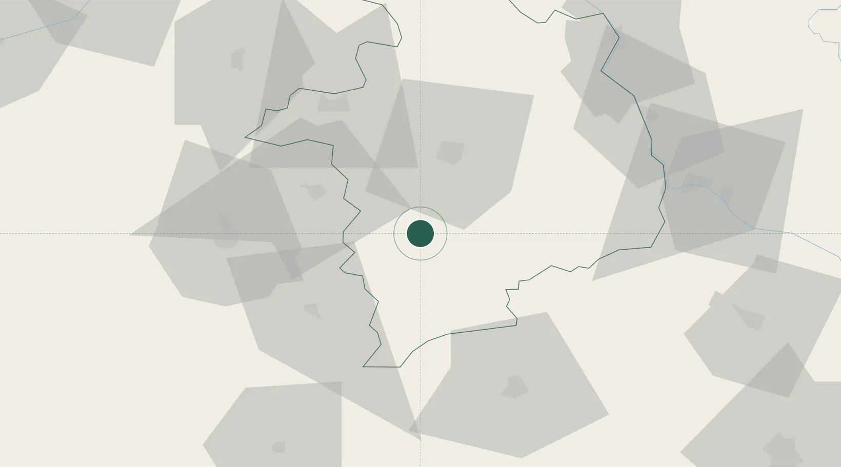
Hub Profile
Place type
Populated place
Region
Centre-Val de Loire
Population
758
Time zone
Europe/Paris
Elevation
167 m
Location
Nearby Logistics Neighbours
Cities
- 1Châteauneuf-sur-Cher4 km
- 2Lunery12 km
- 3Arçay13 km
- 4Orval17 km
- 5Arcomps19 km
Ports
- 1Tonnay Charente266 km
- 2Rochefort270 km
- 3La Rochelle276 km
- 4La Pallice280 km
- 5Le Verdon296 km
Airports
- 1Bourges airport26 km
- 2Avord (BA 702) Air Base34 km
- 3Châteauroux Déols airport45 km
- 4Nevers-Fourchambault Airport63 km
- 5Montluçon-Guéret Airport68 km
Trade Zones
- 1ZFU Bourges27 km
- 2ZFU Blois115 km
- 3ZFU Orléans121 km
- 4ZFU Clermont-Ferrand130 km
- 5ZFU Sens168 km
DatabookThe Record of Consolidated Knowledge
France beyond logistics?