UN/LOCODE hub · France
FRZAE

Guénin

47.9000°, -2.9833°
1,304
Population
1
Transport functions

Transport Functions

Multimodal
UN/LOCODE

Hub Profile

Place type
Populated place
GeoNames
Region
Brittany
GeoNames
Population
1,304
GeoNames
Time zone
Europe/Paris
GeoNames
Elevation
69 m
GeoNames

Location

Location of FRZAE
Natural Earth 10m (public domain) · Brittany · FRZAE · 47.90, -2.98GoogleOSMYandex

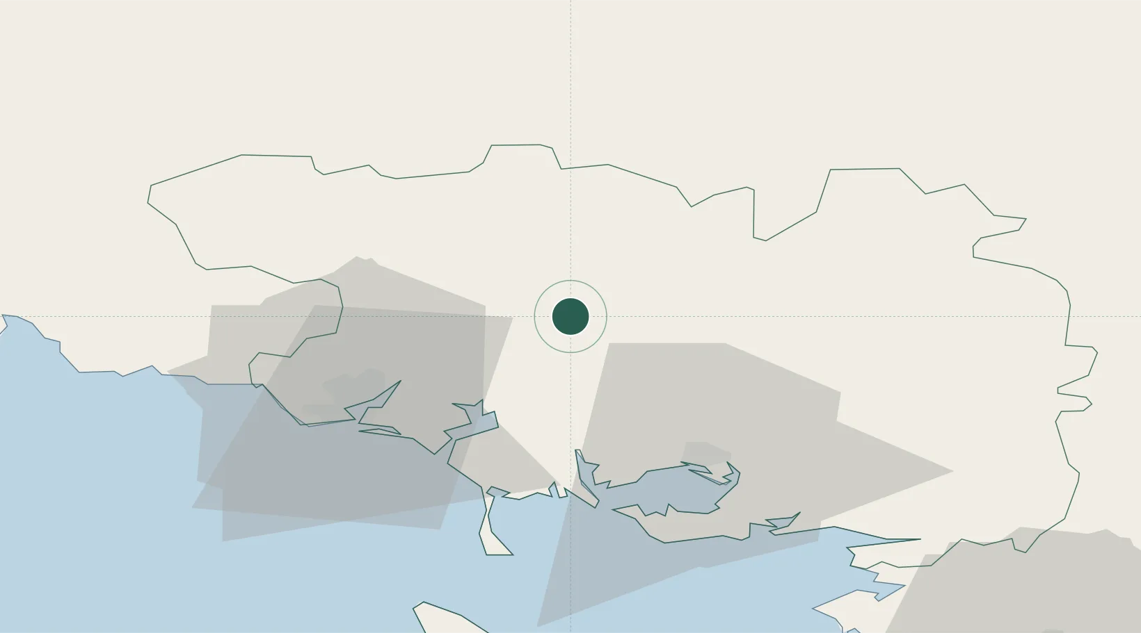
Nearby Logistics Neighbours

Cities
  1. 1Baud5 km
  2. 2Camors6 km
  3. 3Naizin15 km
  4. 4Pluvigner15 km
  5. 5Languidic16 km
Nearest neighbours — logibook spatial index (haversine) over the source coordinates
Ports
  1. 1Lorient32 km
  2. 2Concarneau70 km
  3. 3Le Legue73 km
  4. 4St Nazaire90 km
  5. 5Pontrieux91 km
Nearest neighbours — logibook spatial index (haversine) over the source coordinates
Airports
  1. 1Vannes-Meucon Airport28 km
  2. 2Lorient South Brittany (Bretagne Sud) Airport37 km
  3. 3Aérodrome de Belle Île66 km
  4. 4Saint-Brieuc-Armor Airport72 km
  5. 5La Baule-Escoublac Airport83 km
Nearest neighbours — logibook spatial index (haversine) over the source coordinates
Trade Zones
  1. 1ZFU Saint-Nazaire87 km
  2. 2ZFU Nantes et Saint-Herblain122 km
  3. 3ZFU Angers185 km
  4. 4ZFU Cherbourg-Octeville216 km
  5. 5ZFU Le Mans232 km
Nearest neighbours — logibook spatial index (haversine) over the source coordinates
DatabookThe Record of Consolidated Knowledge
France beyond logistics?
Browse databook

All Sources

LocationsUN/LOCODE
UN/LOCODE — free
LocationsGeoNames
CC BY 4.0
Portsthe NGA World Port Index
Public domain (US gov)
AirportsOurAirports
Public domain
Trade Zonesthe World Bank SEZ database
CC BY 4.0
Trade ZonesOpen Zone Map
CC BY
← France locations