Transport Functions
Multimodal
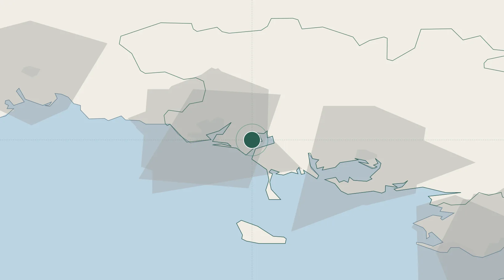
Hub Profile
Place type
Populated place
Region
Brittany
Population
1,050
Time zone
Europe/Paris
Elevation
12 m
Location
Nearby Logistics Neighbours
Cities
- 1Etel7 km
- 2Locoal-Mendon8 km
- 3Hennebont11 km
- 4Locmiquélic11 km
- 5Port-Louis11 km
Ports
- 1Lorient12 km
- 2Concarneau56 km
- 3St Nazaire89 km
- 4Montoir93 km
- 5Le Legue97 km
Airports
Trade Zones
- 1ZFU Saint-Nazaire85 km
- 2ZFU Nantes et Saint-Herblain125 km
- 3ZFU Angers197 km
- 4ZFU La Rochelle230 km
- 5ZFU Cherbourg-Octeville242 km
DatabookThe Record of Consolidated Knowledge
France beyond logistics?