Transport Functions
Road
Multimodal
Hub Profile
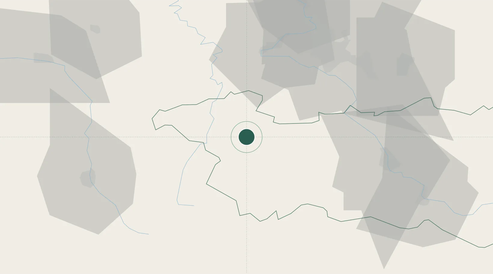
Place type
Populated place
Region
Grand Est
Population
1,983
Time zone
Europe/Paris
Elevation
330 m
Location
Nearby Logistics Neighbours
Cities
- 1Auzainvilliers8 km
- 2Certilleux8 km
- 3Bulgnéville9 km
- 4Neufchâteau11 km
- 5Contrexéville14 km
Airports
Trade Zones
- 1ZFU Maxéville, Laxou, et de Nancy51 km
- 2ZFU Saint-Dizier80 km
- 3ZFU Metz93 km
- 4ZFU Woippy-Metz97 km
- 5ZFU Belfort103 km
DatabookThe Record of Consolidated Knowledge
France beyond logistics?