Transport Functions
Rail
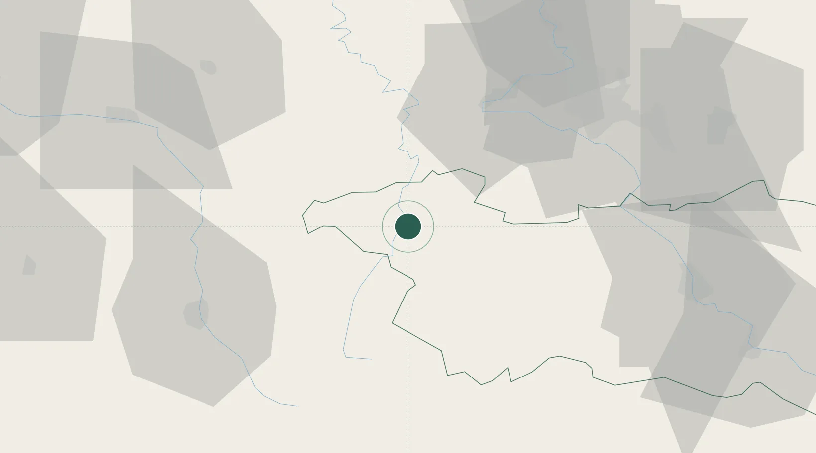
Hub Profile
Place type
District seat
Region
Grand Est
Population
8,047
Time zone
Europe/Paris
Elevation
296 m
Location
Nearby Logistics Neighbours
Cities
- 1Certilleux5 km
- 2Pargny-sous-Mureau8 km
- 3Châtenois11 km
- 4Auzainvilliers17 km
- 5Bulgnéville18 km
Airports
Trade Zones
- 1ZFU Maxéville, Laxou, et de Nancy52 km
- 2ZFU Saint-Dizier69 km
- 3ZFU Metz91 km
- 4ZFU Woippy-Metz95 km
- 5ZFU Belfort114 km
DatabookThe Record of Consolidated Knowledge
France beyond logistics?