Transport Functions
Rail
Road
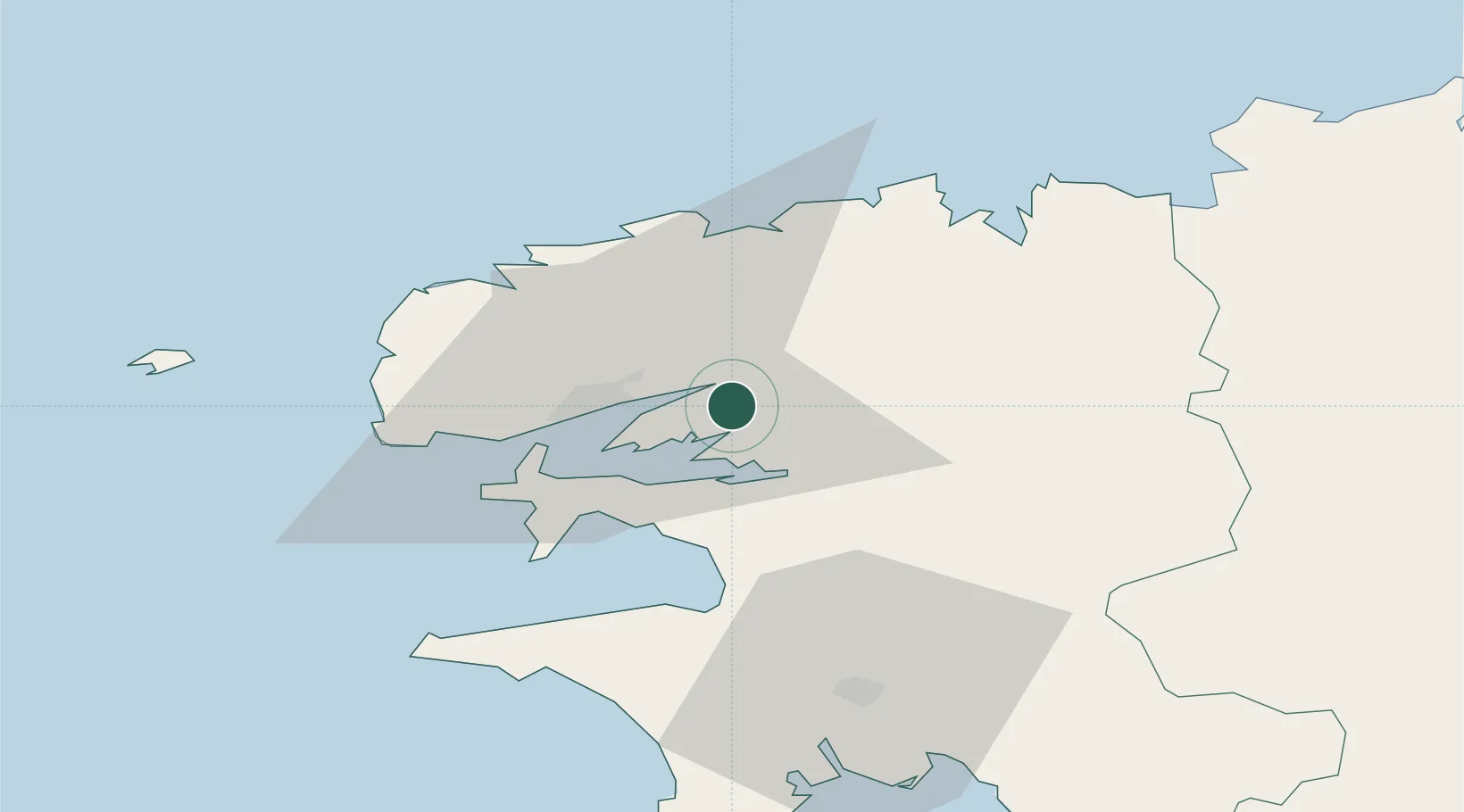
Hub Profile
Place type
Populated place
Region
Brittany
Population
2,528
Time zone
Europe/Paris
Elevation
137 m
Location
Nearby Logistics Neighbours
Cities
- 1Pencran4 km
- 2La Forest-Landerneau5 km
- 3Irvillac5 km
- 4Landerneau6 km
- 5Hopital-Camfrout8 km
Ports
- 1Rade De Brest17 km
- 2Morlaix38 km
- 3Port De Roscoff-Bloscon43 km
- 4Concarneau65 km
- 5Treguier87 km
Airports
- 1Brest Bretagne airport12 km
- 2Landivisiau Air Base17 km
- 3Lanvéoc-Poulmic Air Base19 km
- 4Morlaix-Ploujean Airport40 km
- 5Quimper-Cornouaille Airport48 km
Trade Zones
DatabookThe Record of Consolidated Knowledge
France beyond logistics?