Transport Functions
Port
Road
Hub Profile
Place type
Populated place
Region
Brittany
Population
1,659
Time zone
Europe/Paris
Elevation
46 m
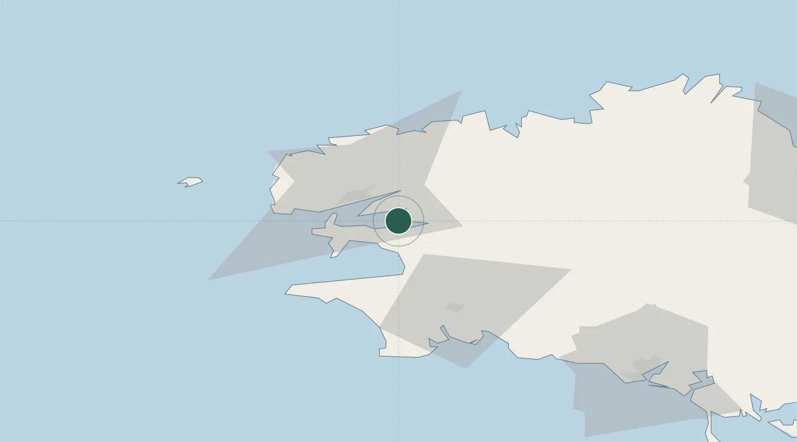
Location
Nearby Logistics Neighbours
Cities
- 1Landevennec3 km
- 2Hopital-Camfrout5 km
- 3Irvillac8 km
- 4Dirinon10 km
- 5Le Passage10 km
Ports
- 1Rade De Brest17 km
- 2Morlaix45 km
- 3Port De Roscoff-Bloscon52 km
- 4Concarneau58 km
- 5Treguier94 km
Airports
- 1Lanvéoc-Poulmic Air Base11 km
- 2Brest Bretagne airport17 km
- 3Landivisiau Air Base26 km
- 4Quimper-Cornouaille Airport39 km
- 5Morlaix-Ploujean Airport48 km
Trade Zones
DatabookThe Record of Consolidated Knowledge
France beyond logistics?