UN/LOCODE hub · France
FRPYV

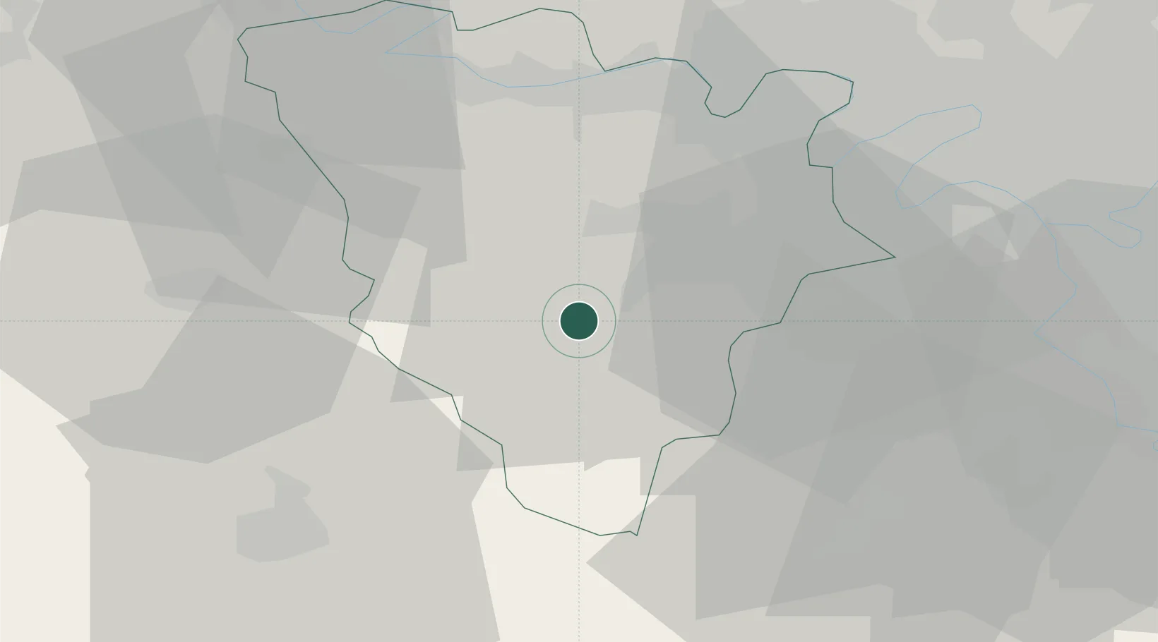
Le Perray-en-Yvelines

48.7000°, 1.8500°
6,206
Population
2
Transport functions

Transport Functions

Rail
Road
UN/LOCODE

Hub Profile

Place type
Populated place
GeoNames
Region
Île-de-France
GeoNames
Population
6,206
GeoNames
Time zone
Europe/Paris
GeoNames
Elevation
175 m
GeoNames

Location

Location of FRPYV
Natural Earth 10m (public domain) · Île-de-France · FRPYV · 48.70, 1.85GoogleOSMYandex

Nearby Logistics Neighbours

Cities
  1. 1Les Essarts-le-Roi4 km
  2. 2Rambouillet6 km
  3. 3Le Mesnil-Saint-Denis9 km
  4. 4Gazeran10 km
  5. 5Saint-Quentin-en-Yvelines13 km
Nearest neighbours — logibook spatial index (haversine) over the source coordinates
Ports
  1. 1Port Of Rouen101 km
  2. 2Honfleur143 km
  3. 3Dieppe148 km
  4. 4Deauville149 km
  5. 5Port Of Le Havre153 km
Nearest neighbours — logibook spatial index (haversine) over the source coordinates
Airports
  1. 1Toussus-le-Noble Airport20 km
  2. 2Vélizy-Villacoublay Air Base27 km
  3. 3Paris-Orly Airport39 km
  4. 4Pontoise-Cormeilles Aerodrome46 km
  5. 5Paris-Le Bourget International Airport52 km
Nearest neighbours — logibook spatial index (haversine) over the source coordinates
Trade Zones
  1. 1ZFU Trappes14 km
  2. 2ZFU Les Mureaux32 km
  3. 3ZFU Mantes-la-Jolie34 km
  4. 4ZFU Sartrouville35 km
  5. 5ZFU Dreux et Sainte-Gemme-Moronval35 km
Nearest neighbours — logibook spatial index (haversine) over the source coordinates
DatabookThe Record of Consolidated Knowledge
France beyond logistics?
Browse databook

All Sources

LocationsUN/LOCODE
UN/LOCODE — free
LocationsGeoNames
CC BY 4.0
Portsthe NGA World Port Index
Public domain (US gov)
AirportsOurAirports
Public domain
Trade Zonesthe World Bank SEZ database
CC BY 4.0
Trade ZonesOpen Zone Map
CC BY
← France locations