UN/LOCODE hub · France
FRELR
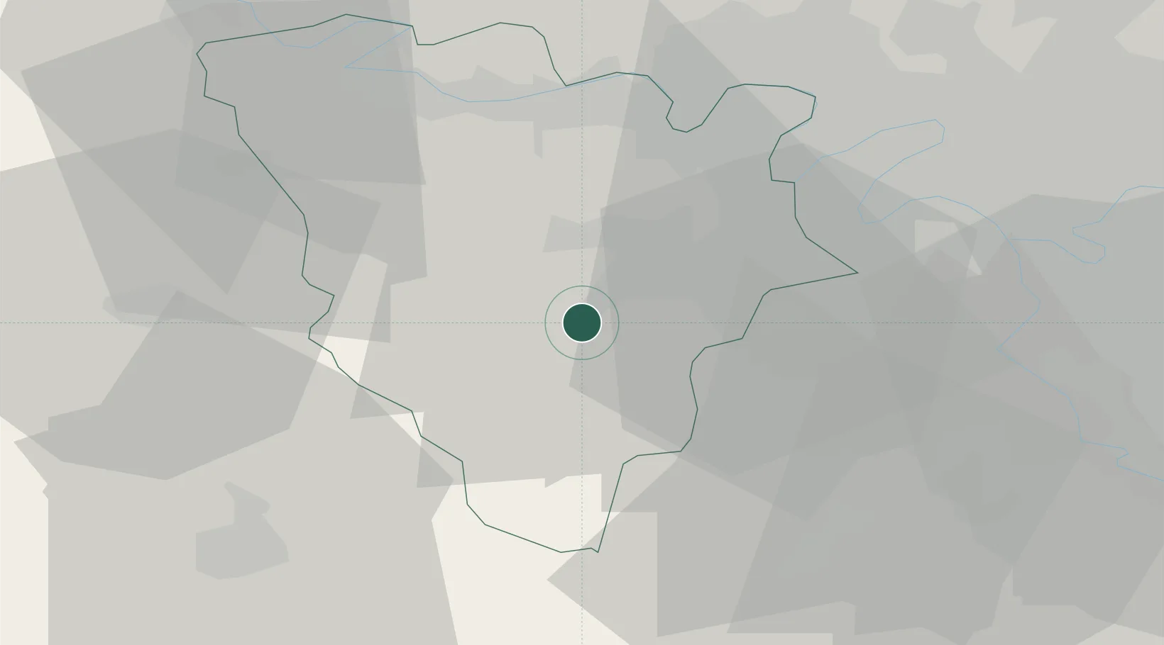
Les Essarts-le-Roi
48.7167°, 1.9000°
6,213
Population
2
Transport functions
Transport Functions
Rail
Road
Hub Profile
Place type
Populated place
Region
Île-de-France
Population
6,213
Time zone
Europe/Paris
Elevation
175 m
Location
Nearby Logistics Neighbours
Cities
- 1Le Perray-en-Yvelines4 km
- 2Le Mesnil-Saint-Denis5 km
- 3Rambouillet9 km
- 4Saint-Quentin-en-Yvelines9 km
- 5Trappes10 km
Ports
- 1Port Of Rouen102 km
- 2Honfleur145 km
- 3Dieppe148 km
- 4Deauville151 km
- 5Le Treport155 km
Airports
Trade Zones
- 1ZFU Trappes10 km
- 2ZFU Les Mureaux30 km
- 3ZFU Sartrouville31 km
- 4ZFU Mantes-la-Jolie33 km
- 5ZFU Grigny Viry-Châtillon35 km
DatabookThe Record of Consolidated Knowledge
France beyond logistics?