Transport Functions
Rail
Road
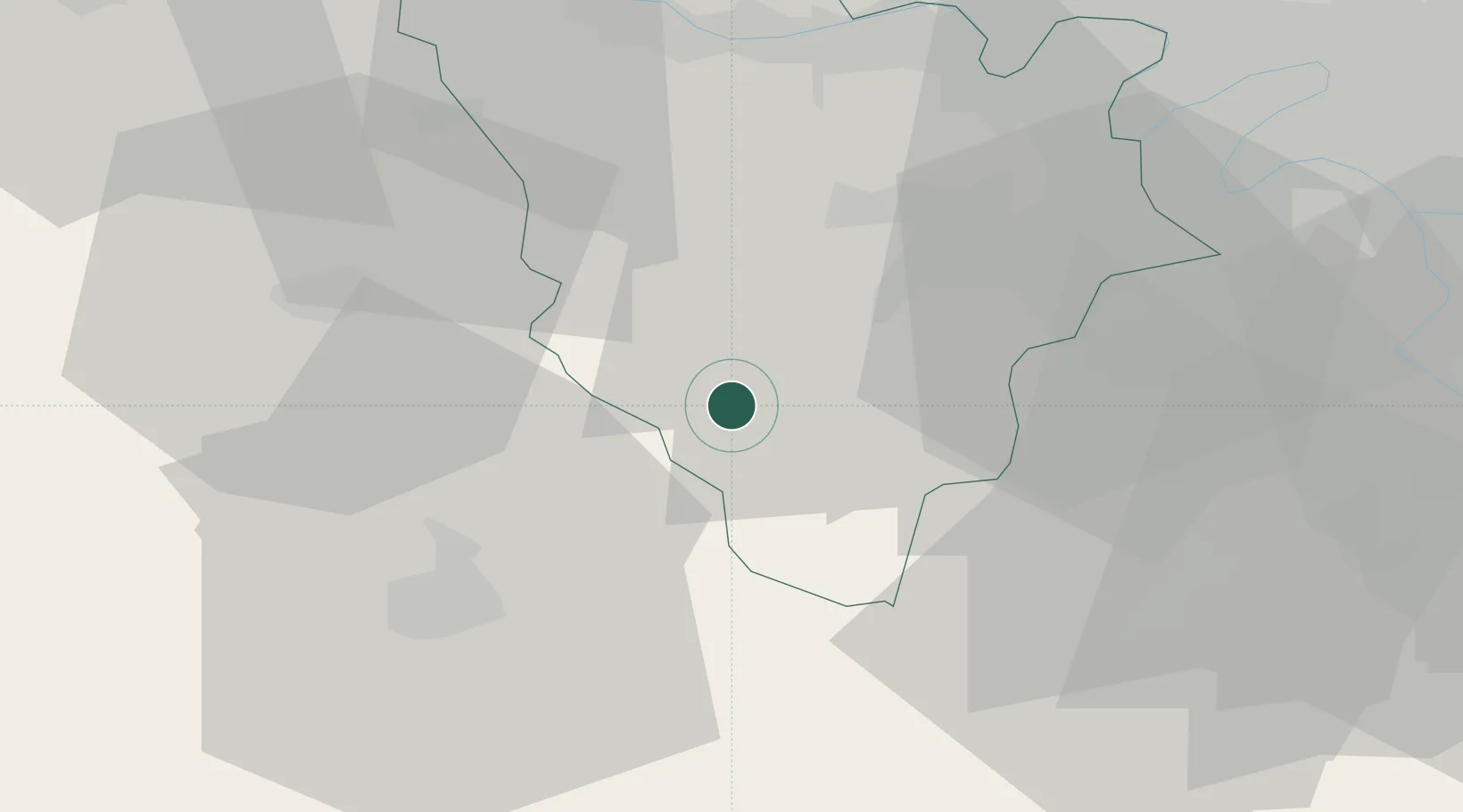
Hub Profile
Place type
Populated place
Region
Île-de-France
Population
1,219
Time zone
Europe/Paris
Elevation
161 m
Location
Nearby Logistics Neighbours
Cities
- 1Rambouillet5 km
- 2Le Perray-en-Yvelines10 km
- 3Sonchamp10 km
- 4Les Essarts-le-Roi14 km
- 5Ymeray14 km
Ports
- 1Port Of Rouen104 km
- 2Honfleur143 km
- 3Deauville147 km
- 4Dieppe153 km
- 5Port Of Le Havre153 km
Airports
Trade Zones
- 1ZFU Trappes23 km
- 2ZFU Dreux et Sainte-Gemme-Moronval31 km
- 3ZFU Mantes-la-Jolie40 km
- 4ZFU Les Mureaux41 km
- 5ZFU Sartrouville44 km
DatabookThe Record of Consolidated Knowledge
France beyond logistics?