UN/LOCODE hub · France
FRNDH

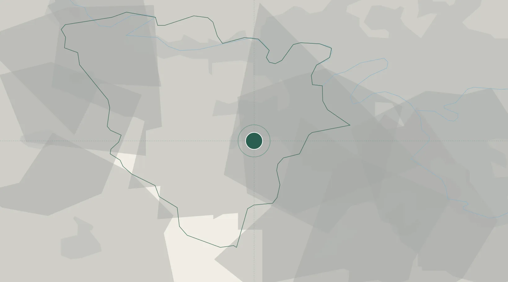
Le Mesnil-Saint-Denis

48.7333°, 1.9667°
6,915
Population
2
Transport functions

Transport Functions

Road
Multimodal
UN/LOCODE

Hub Profile

Place type
Populated place
GeoNames
Region
Île-de-France
GeoNames
Population
6,915
GeoNames
Time zone
Europe/Paris
GeoNames
Elevation
174 m
GeoNames

Location

Location of FRNDH
Natural Earth 10m (public domain) · Île-de-France · FRNDH · 48.73, 1.97GoogleOSMYandex

Nearby Logistics Neighbours

Cities
  1. 1Saint-Quentin-en-Yvelines4 km
  2. 2Trappes5 km
  3. 3Les Essarts-le-Roi5 km
  4. 4Saint-Rémy-lès-Chevreuse8 km
  5. 5Bois-d'Arcy9 km
Nearest neighbours — logibook spatial index (haversine) over the source coordinates
Ports
  1. 1Port Of Rouen103 km
  2. 2Dieppe148 km
  3. 3Honfleur148 km
  4. 4Deauville154 km
  5. 5Le Treport155 km
Nearest neighbours — logibook spatial index (haversine) over the source coordinates
Airports
  1. 1Toussus-le-Noble Airport10 km
  2. 2Vélizy-Villacoublay Air Base18 km
  3. 3Paris-Orly Airport30 km
  4. 4Pontoise-Cormeilles Aerodrome41 km
  5. 5Paris-Le Bourget International Airport43 km
Nearest neighbours — logibook spatial index (haversine) over the source coordinates
Trade Zones
  1. 1ZFU Trappes5 km
  2. 2ZFU Sartrouville27 km
  3. 3ZFU Les Mureaux29 km
  4. 4ZFU Grigny Viry-Châtillon31 km
  5. 5ZFU Vitry-sur-Seine31 km
Nearest neighbours — logibook spatial index (haversine) over the source coordinates
DatabookThe Record of Consolidated Knowledge
France beyond logistics?
Browse databook

All Sources

LocationsUN/LOCODE
UN/LOCODE — free
LocationsGeoNames
CC BY 4.0
Portsthe NGA World Port Index
Public domain (US gov)
AirportsOurAirports
Public domain
Trade Zonesthe World Bank SEZ database
CC BY 4.0
Trade ZonesOpen Zone Map
CC BY
← France locations