Transport Functions
Port
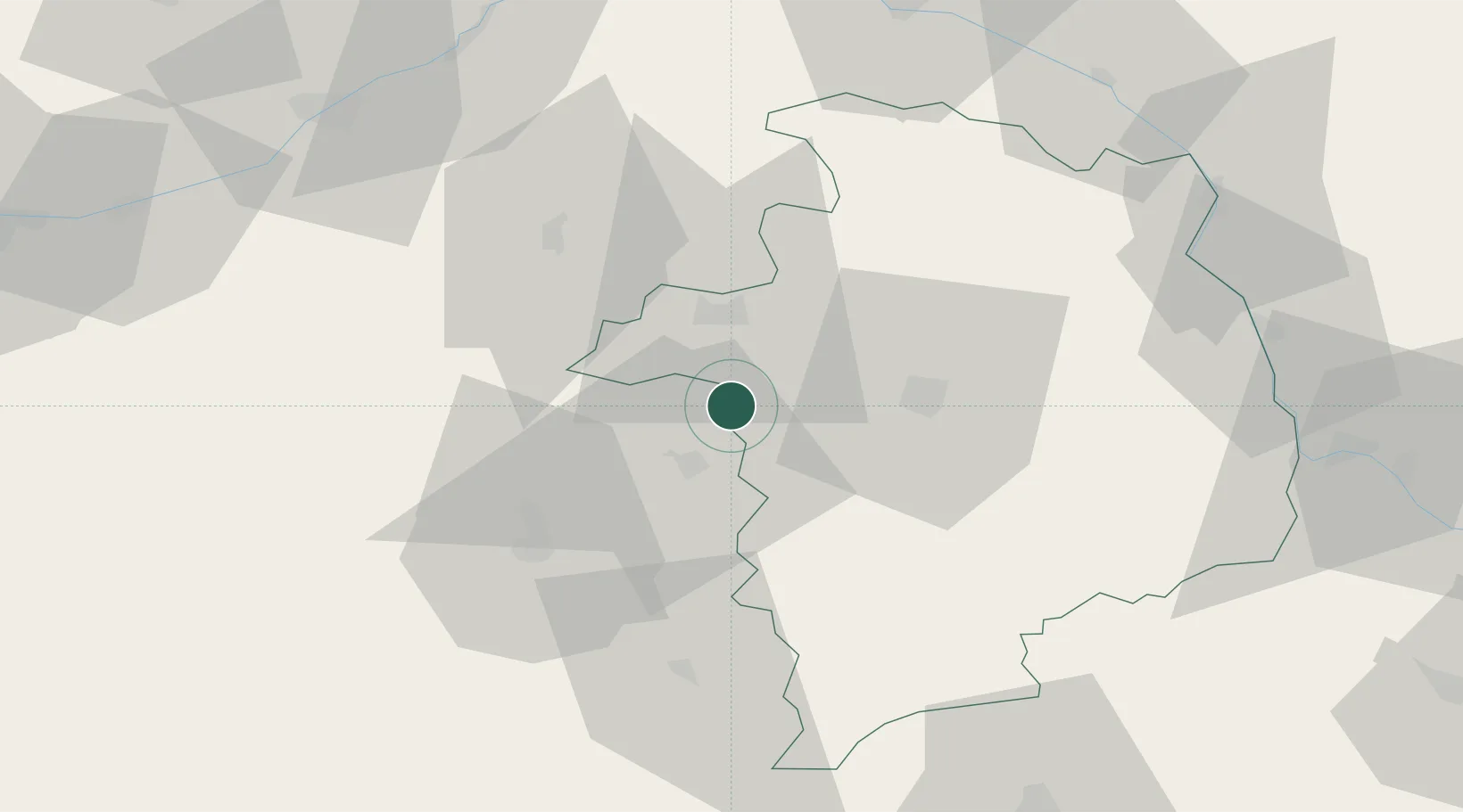
Hub Profile
Place type
Populated place
Region
Centre-Val de Loire
Time zone
Europe/Paris
Elevation
118 m
Location
Nearby Logistics Neighbours
Cities
- 1Cerbois6 km
- 2Sainte-Lizaigne8 km
- 3Preuilly10 km
- 4Brinay11 km
- 5Lizeray16 km
Ports
- 1Tonnay Charente260 km
- 2Rochefort263 km
- 3La Rochelle266 km
- 4La Pallice270 km
- 5Port Of Rouen275 km
Airports
- 1Bourges airport23 km
- 2Châteauroux Déols airport34 km
- 3Avord (BA 702) Air Base43 km
- 4Nevers-Fourchambault Airport80 km
- 5Montluçon-Guéret Airport97 km
Trade Zones
- 1ZFU Bourges20 km
- 2ZFU Blois83 km
- 3ZFU Orléans91 km
- 4ZFU Sens155 km
- 5ZFU Montereau-Fault-Yonne161 km
DatabookThe Record of Consolidated Knowledge
France beyond logistics?