Transport Functions
Multimodal
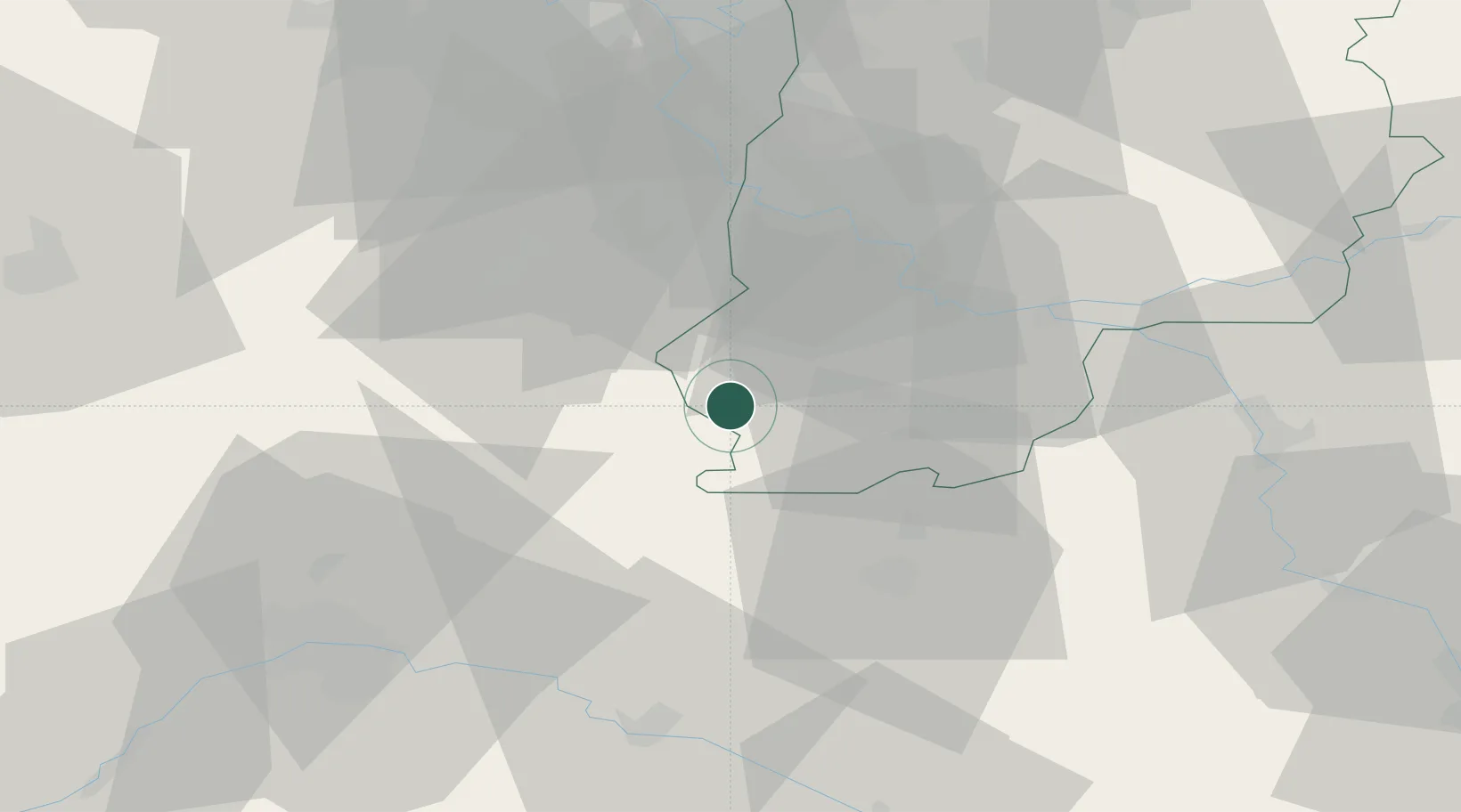
Hub Profile
Place type
Populated place
Region
Île-de-France
Population
174
Time zone
Europe/Paris
Elevation
146 m
Location
Nearby Logistics Neighbours
Cities
- 1Puiseaux6 km
- 2Arville8 km
- 3Malesherbes9 km
- 4Bagneaux-sur-Loing14 km
- 5Grez-sur-Loing14 km
Ports
- 1Port Of Rouen170 km
- 2Honfleur212 km
- 3Dieppe214 km
- 4Deauville216 km
- 5Le Treport218 km
Airports
Trade Zones
- 1ZFU Melun34 km
- 2ZFU Montereau-Fault-Yonne36 km
- 3ZFU Corbeil-Evry39 km
- 4ZFU Grigny Viry-Châtillon48 km
- 5ZFU Epinay-sous-Sénart49 km
DatabookThe Record of Consolidated Knowledge
France beyond logistics?