Transport Functions
Road
Multimodal
Hub Profile
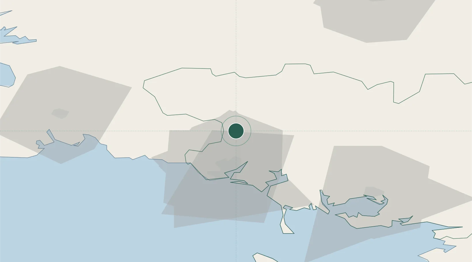
Place type
Populated place
Region
Brittany
Population
5,166
Time zone
Europe/Paris
Elevation
81 m
Location
Nearby Logistics Neighbours
Cities
- 1Pont-Scorff11 km
- 2Hennebont14 km
- 3Languidic16 km
- 4Priziac18 km
- 5Lorient19 km
Ports
- 1Lorient19 km
- 2Concarneau44 km
- 3Le Legue81 km
- 4Morlaix83 km
- 5Pontrieux89 km
Airports
Trade Zones
- 1ZFU Saint-Nazaire107 km
- 2ZFU Nantes et Saint-Herblain145 km
- 3ZFU Angers210 km
- 4ZFU Cherbourg-Octeville227 km
- 5ZFU La Rochelle253 km
DatabookThe Record of Consolidated Knowledge
France beyond logistics?