UN/LOCODE hub · France
FRPQX

Putanges

48.7667°, -0.2500°
2
Transport functions

Transport Functions

Road
Multimodal
UN/LOCODE

Hub Profile

Region
61
GeoNames

Location

Location of FRPQX
Natural Earth 10m (public domain) · 61 · FRPQX · 48.77, -0.25GoogleOSMYandex

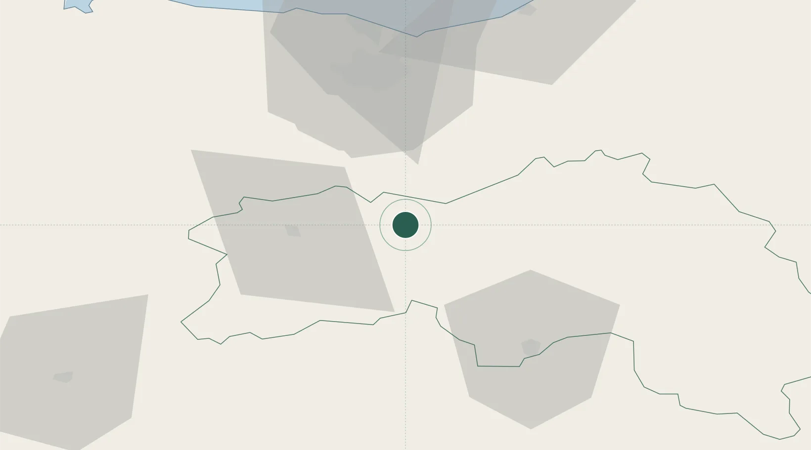
Nearby Logistics Neighbours

Cities
  1. 1Écouché12 km
  2. 2Falaise15 km
  3. 3Joué-du-Bois20 km
  4. 4Juvigny-sur-Orne22 km
  5. 5Soumont-Saint-Quentin22 km
Nearest neighbours — logibook spatial index (haversine) over the source coordinates
Ports
  1. 1Port De Caen47 km
  2. 2Ouistreham58 km
  3. 3Deauville71 km
  4. 4Honfleur80 km
  5. 5Port Of Le Havre84 km
Nearest neighbours — logibook spatial index (haversine) over the source coordinates
Airports
  1. 1Caen Carpiquet airport48 km
  2. 2Deauville Normandie airport73 km
  3. 3Le Havre-Octeville Airport89 km
  4. 4Laval-Entrammes Airport89 km
  5. 5Le Mans-Arnage Airport97 km
Nearest neighbours — logibook spatial index (haversine) over the source coordinates
Trade Zones
  1. 1ZFU Alençon45 km
  2. 2ZFU La Guérinière, La Grâce de Dieu48 km
  3. 3ZFU Hérouville-Saint-Clair49 km
  4. 4ZFU Le Havre86 km
  5. 5ZFU Le Mans92 km
Nearest neighbours — logibook spatial index (haversine) over the source coordinates
DatabookThe Record of Consolidated Knowledge
France beyond logistics?
Browse databook

All Sources

LocationsUN/LOCODE
UN/LOCODE — free
Portsthe NGA World Port Index
Public domain (US gov)
AirportsOurAirports
Public domain
Trade Zonesthe World Bank SEZ database
CC BY 4.0
Trade ZonesOpen Zone Map
CC BY
← France locations