Transport Functions
Rail
Road
Hub Profile
Place type
Populated place
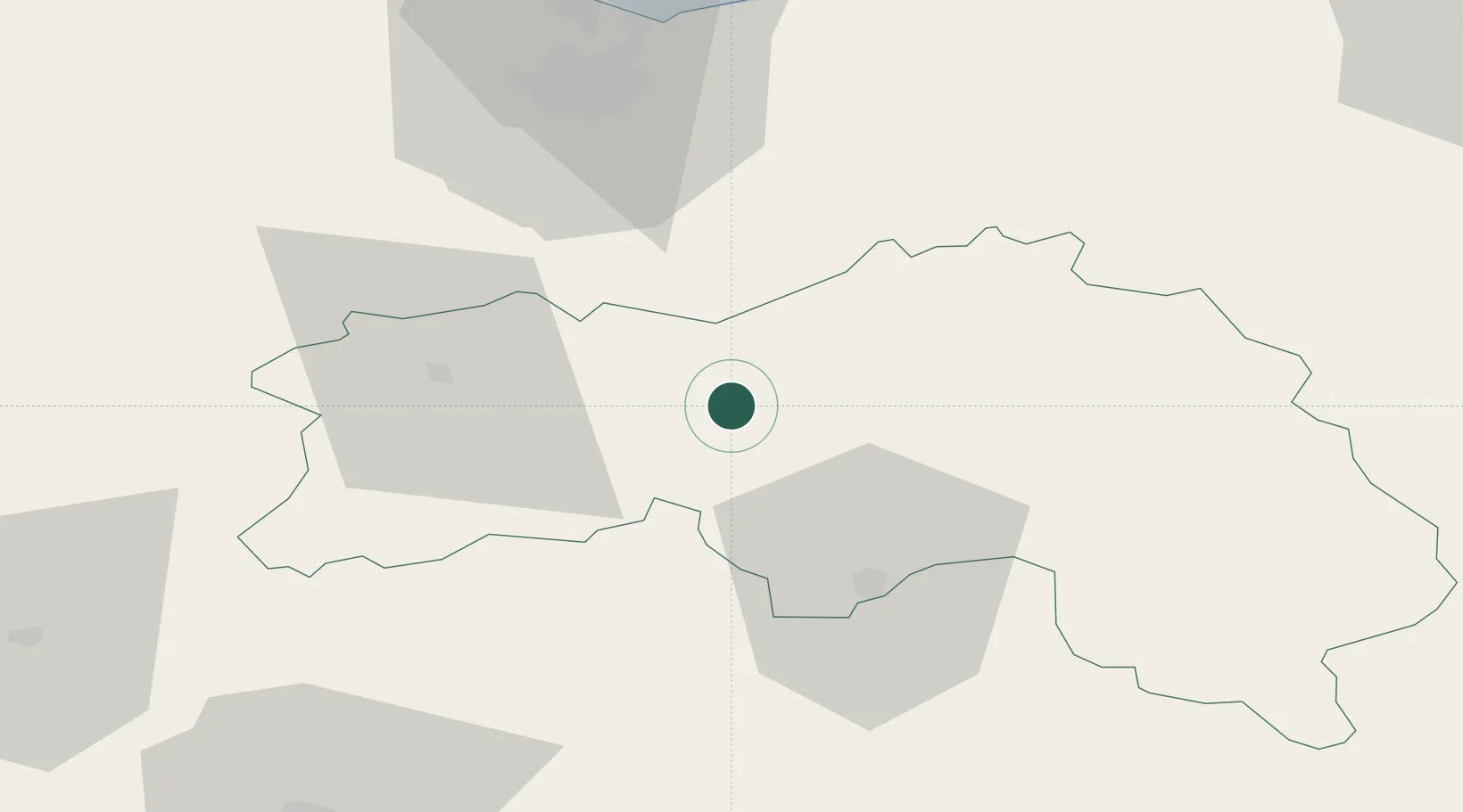
Region
Normandy
Population
1,413
Time zone
Europe/Paris
Elevation
154 m
Location
Nearby Logistics Neighbours
Cities
- 1Juvigny-sur-Orne11 km
- 2Putanges12 km
- 3Joué-du-Bois16 km
- 4Falaise23 km
- 5Sées24 km
Ports
- 1Port De Caen56 km
- 2Ouistreham66 km
- 3Deauville76 km
- 4Honfleur83 km
- 5Port Of Le Havre89 km
Airports
- 1Caen Carpiquet airport59 km
- 2Deauville Normandie airport77 km
- 3Le Mans-Arnage Airport87 km
- 4Laval-Entrammes Airport88 km
- 5Le Havre-Octeville Airport94 km
Trade Zones
- 1ZFU Alençon33 km
- 2ZFU La Guérinière, La Grâce de Dieu58 km
- 3ZFU Hérouville-Saint-Clair59 km
- 4ZFU Le Mans82 km
- 5ZFU Le Havre91 km
DatabookThe Record of Consolidated Knowledge
France beyond logistics?