Transport Functions
Multimodal
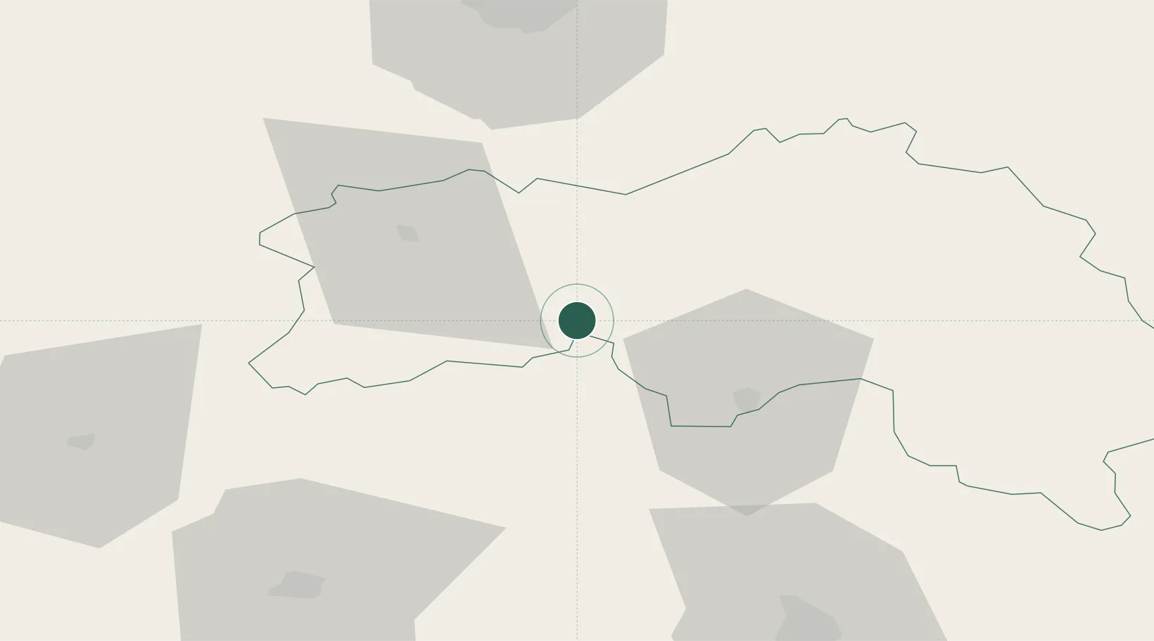
Hub Profile
Place type
Populated place
Region
Normandy
Population
434
Time zone
Europe/Paris
Elevation
304 m
Location
Nearby Logistics Neighbours
Cities
- 1Écouché16 km
- 2La Chapelle-d'Andaine19 km
- 3Ravigny19 km
- 4Putanges20 km
- 5Lonrai24 km
Ports
- 1Port De Caen67 km
- 2Ouistreham78 km
- 3Deauville90 km
- 4Honfleur98 km
- 5Port Of Le Havre103 km
Airports
- 1Caen Carpiquet airport68 km
- 2Laval-Entrammes Airport72 km
- 3Le Mans-Arnage Airport78 km
- 4Deauville Normandie airport91 km
- 5Granville Airport103 km
Trade Zones
- 1ZFU Alençon29 km
- 2ZFU La Guérinière, La Grâce de Dieu68 km
- 3ZFU Hérouville-Saint-Clair70 km
- 4ZFU Le Mans72 km
- 5ZFU Le Havre105 km
DatabookThe Record of Consolidated Knowledge
France beyond logistics?