Transport Functions
Road
Multimodal
Hub Profile
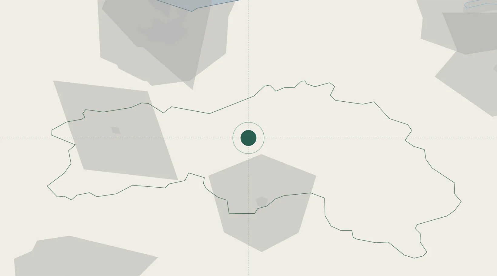
Place type
Populated place
Region
Normandy
Population
74
Time zone
Europe/Paris
Elevation
160 m
Location
Nearby Logistics Neighbours
Cities
- 1Écouché11 km
- 2Sées16 km
- 3Putanges22 km
- 4Crouttes23 km
- 5Joué-du-Bois25 km
Ports
- 1Port De Caen59 km
- 2Ouistreham66 km
- 3Deauville72 km
- 4Honfleur79 km
- 5Port Of Le Havre86 km
Airports
Trade Zones
- 1ZFU Alençon32 km
- 2ZFU Hérouville-Saint-Clair61 km
- 3ZFU La Guérinière, La Grâce de Dieu61 km
- 4ZFU Le Mans82 km
- 5ZFU Le Havre88 km
DatabookThe Record of Consolidated Knowledge
France beyond logistics?