UN/LOCODE hub · France
FRN9C

Noyal-Châtillon-sur-Seiche

48.0500°, -1.6667°
2
Transport functions

Transport Functions

Road
Multimodal
UN/LOCODE

Hub Profile

Place type
Populated place
GeoNames
Region
Brittany
GeoNames
Time zone
Europe/Paris
GeoNames
Elevation
36 m
GeoNames

Location

Location of FRN9C
Natural Earth 10m (public domain) · Brittany · FRN9C · 48.05, -1.67GoogleOSMYandex

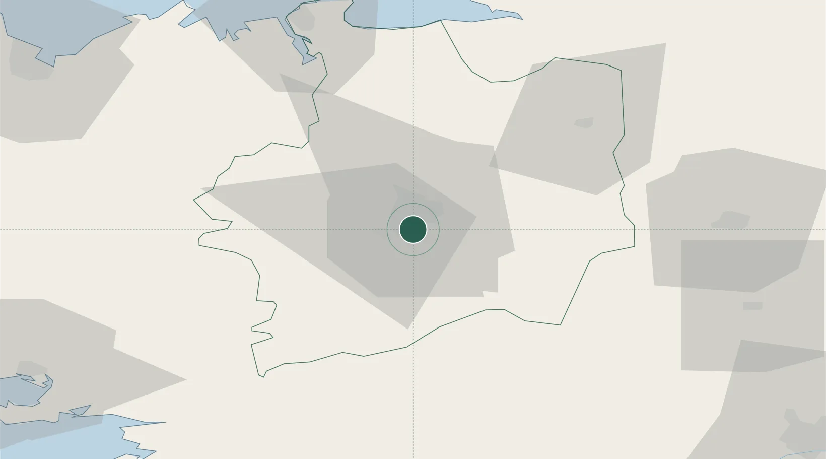
Nearby Logistics Neighbours

Cities
  1. 1Chantepie5 km
  2. 2Rennes6 km
  3. 3Pont-Réan10 km
  4. 4Montgermont12 km
  5. 5Guichen13 km
Nearest neighbours — logibook spatial index (haversine) over the source coordinates
Ports
  1. 1Saint-Malo72 km
  2. 2Granville87 km
  3. 3Donges89 km
  4. 4Montoir90 km
  5. 5St Nazaire94 km
Nearest neighbours — logibook spatial index (haversine) over the source coordinates
Airports
  1. 1Rennes-Saint-Jacques Airport6 km
  2. 2Dinard Pleurtuit Saint-Malo airport67 km
  3. 3Laval-Entrammes Airport69 km
  4. 4Vannes-Meucon Airport86 km
  5. 5Saint-Nazaire-Montoir Airport90 km
Nearest neighbours — logibook spatial index (haversine) over the source coordinates
Trade Zones
  1. 1ZFU Nantes et Saint-Herblain92 km
  2. 2ZFU Saint-Nazaire97 km
  3. 3ZFU Angers102 km
  4. 4ZFU Le Mans134 km
  5. 5ZFU Alençon136 km
Nearest neighbours — logibook spatial index (haversine) over the source coordinates
DatabookThe Record of Consolidated Knowledge
France beyond logistics?
Browse databook

All Sources

LocationsUN/LOCODE
UN/LOCODE — free
Portsthe NGA World Port Index
Public domain (US gov)
AirportsOurAirports
Public domain
Trade Zonesthe World Bank SEZ database
CC BY 4.0
Trade ZonesOpen Zone Map
CC BY
← France locations