UN/LOCODE hub · France
FRPP9

Plestan

48.4167°, -2.4500°
1,447
Population
2
Transport functions

Transport Functions

Road
Multimodal
UN/LOCODE

Hub Profile

Place type
Populated place
GeoNames
Region
Brittany
GeoNames
Population
1,447
GeoNames
Time zone
Europe/Paris
GeoNames
Elevation
97 m
GeoNames

Location

Location of FRPP9
Natural Earth 10m (public domain) · Brittany · FRPP9 · 48.42, -2.45GoogleOSMYandex

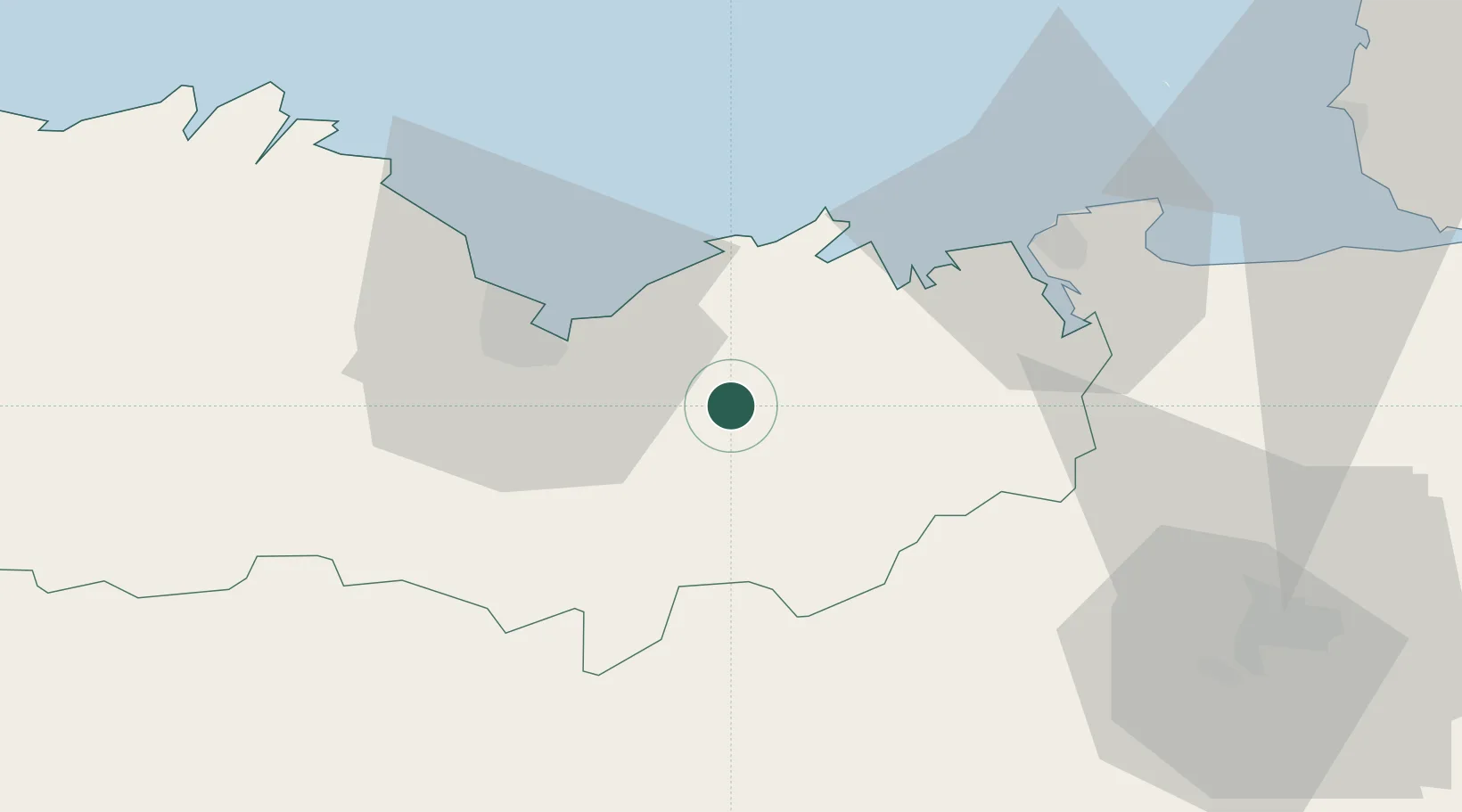
Nearby Logistics Neighbours

Cities
  1. 1Megrit12 km
  2. 2Collinée14 km
  3. 3Bourseul15 km
  4. 4Planguenoual16 km
  5. 5Plancoët20 km
Nearest neighbours — logibook spatial index (haversine) over the source coordinates
Ports
  1. 1Le Legue26 km
  2. 2Saint-Malo41 km
  3. 3Paimpol60 km
  4. 4Pontrieux61 km
  5. 5Lezardrieux63 km
Nearest neighbours — logibook spatial index (haversine) over the source coordinates
Airports
  1. 1Saint-Brieuc-Armor Airport33 km
  2. 2Dinard Pleurtuit Saint-Malo airport33 km
  3. 3Rennes-Saint-Jacques Airport66 km
  4. 4Vannes-Meucon Airport80 km
  5. 5Granville Airport83 km
Nearest neighbours — logibook spatial index (haversine) over the source coordinates
Trade Zones
  1. 1ZFU Saint-Nazaire127 km
  2. 2ZFU Nantes et Saint-Herblain144 km
  3. 3ZFU Cherbourg-Octeville148 km
  4. 4ZFU La Guérinière, La Grâce de Dieu172 km
  5. 5ZFU Angers173 km
Nearest neighbours — logibook spatial index (haversine) over the source coordinates
DatabookThe Record of Consolidated Knowledge
France beyond logistics?
Browse databook

All Sources

LocationsUN/LOCODE
UN/LOCODE — free
LocationsGeoNames
CC BY 4.0
Portsthe NGA World Port Index
Public domain (US gov)
AirportsOurAirports
Public domain
Trade Zonesthe World Bank SEZ database
CC BY 4.0
Trade ZonesOpen Zone Map
CC BY
← France locations