Transport Functions
Rail
Road
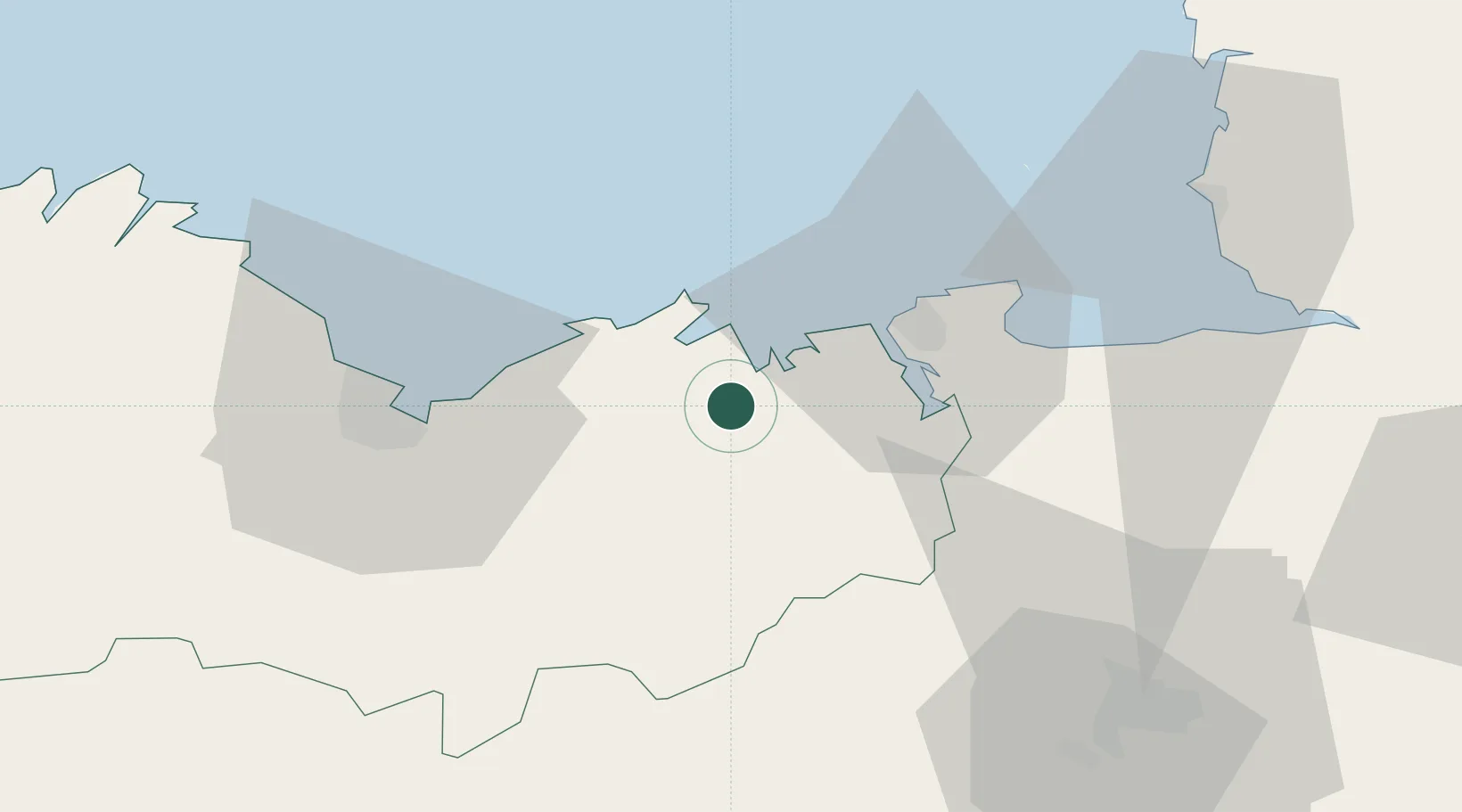
Hub Profile
Place type
Populated place
Region
Brittany
Population
2,703
Time zone
Europe/Paris
Elevation
22 m
Location
Nearby Logistics Neighbours
Cities
- 1La Chapelle-Janson4 km
- 2le Guildo4 km
- 3Bourseul6 km
- 4Saint-Cast-le-Guildo7 km
- 5Matignon8 km
Ports
- 1Saint-Malo22 km
- 2Le Legue37 km
- 3Granville58 km
- 4Paimpol65 km
- 5Lezardrieux69 km
Airports
- 1Dinard Pleurtuit Saint-Malo airport14 km
- 2Saint-Brieuc-Armor Airport44 km
- 3Granville Airport64 km
- 4Rennes-Saint-Jacques Airport64 km
- 5Jersey Airport75 km
Trade Zones
- 1ZFU Cherbourg-Octeville130 km
- 2ZFU Saint-Nazaire140 km
- 3ZFU Nantes et Saint-Herblain151 km
- 4ZFU La Guérinière, La Grâce de Dieu153 km
- 5ZFU Hérouville-Saint-Clair158 km
DatabookThe Record of Consolidated Knowledge
France beyond logistics?