Transport Functions
Road
Multimodal
Hub Profile
Place type
Populated place
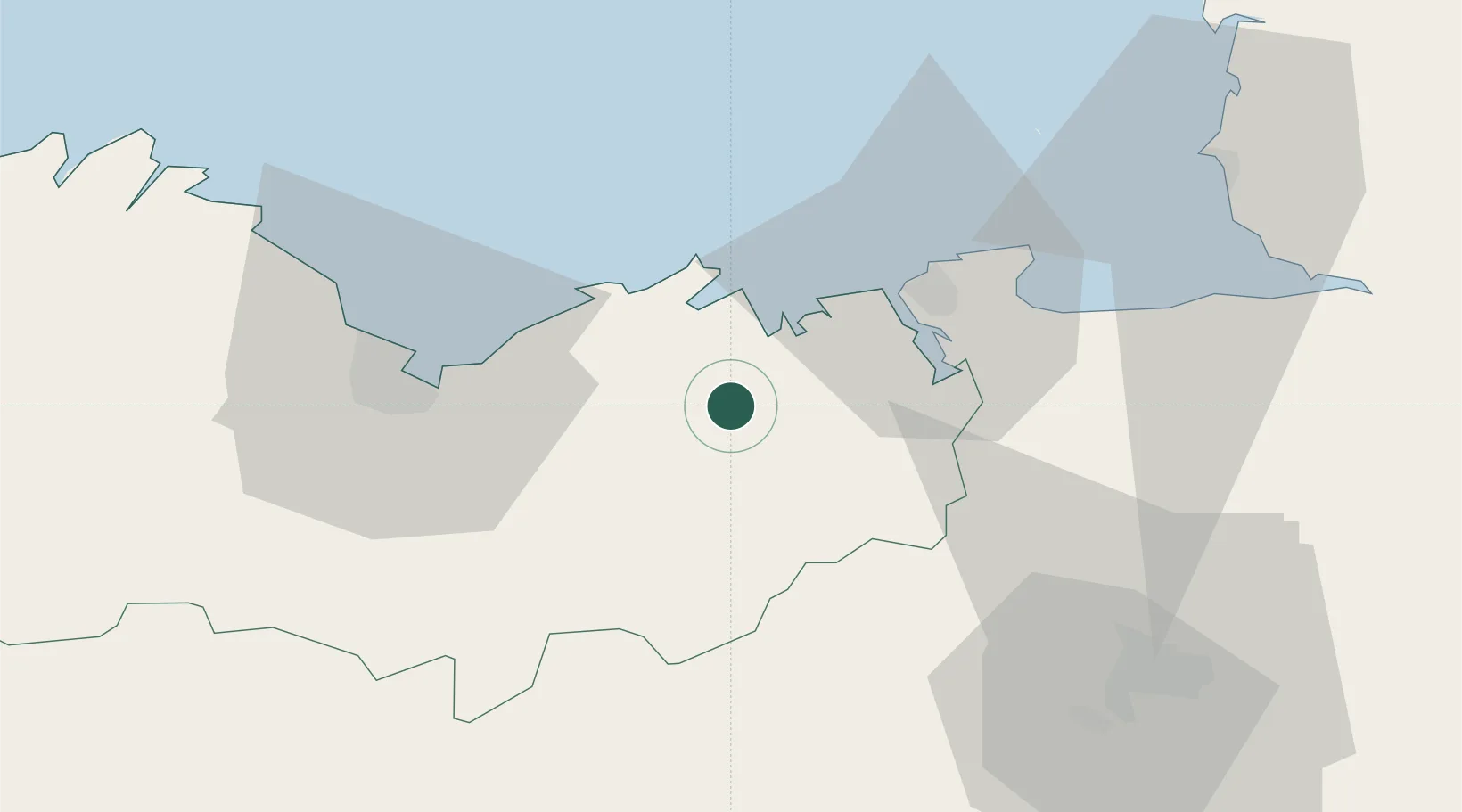
Region
Brittany
Population
962
Time zone
Europe/Paris
Elevation
59 m
Location
Nearby Logistics Neighbours
Cities
- 1Megrit4 km
- 2Plancoët6 km
- 3La Chapelle-Janson6 km
- 4le Guildo10 km
- 5Saint-Cast-le-Guildo13 km
Ports
- 1Saint-Malo26 km
- 2Le Legue36 km
- 3Granville63 km
- 4Paimpol67 km
- 5Pontrieux69 km
Airports
- 1Dinard Pleurtuit Saint-Malo airport18 km
- 2Saint-Brieuc-Armor Airport44 km
- 3Rennes-Saint-Jacques Airport61 km
- 4Granville Airport68 km
- 5Jersey Airport81 km
Trade Zones
- 1ZFU Saint-Nazaire134 km
- 2ZFU Cherbourg-Octeville136 km
- 3ZFU Nantes et Saint-Herblain146 km
- 4ZFU La Guérinière, La Grâce de Dieu157 km
- 5ZFU Hérouville-Saint-Clair162 km
DatabookThe Record of Consolidated Knowledge
France beyond logistics?