UN/LOCODE hub · France
FRP22

Planguenoual

48.5333°, -2.5833°
1,614
Population
1
Transport functions

Transport Functions

Multimodal
UN/LOCODE

Hub Profile

Place type
Populated place
GeoNames
Region
Brittany
GeoNames
Population
1,614
GeoNames
Time zone
Europe/Paris
GeoNames
Elevation
80 m
GeoNames

Location

Location of FRP22
Natural Earth 10m (public domain) · Brittany · FRP22 · 48.53, -2.58GoogleOSMYandex

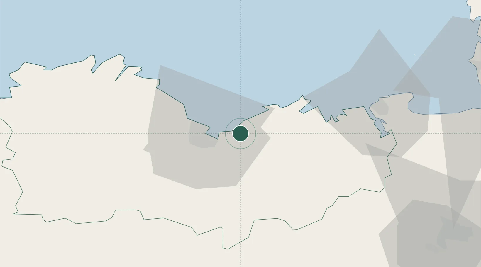
Nearby Logistics Neighbours

Cities
  1. 1Pléneuf-Val-André8 km
  2. 2Saint-Brieuc15 km
  3. 3Plestan16 km
  4. 4La Méaugon19 km
  5. 5Binic20 km
Nearest neighbours — logibook spatial index (haversine) over the source coordinates
Ports
  1. 1Le Legue12 km
  2. 2Saint-Malo44 km
  3. 3Paimpol44 km
  4. 4Pontrieux46 km
  5. 5Lezardrieux47 km
Nearest neighbours — logibook spatial index (haversine) over the source coordinates
Airports
  1. 1Saint-Brieuc-Armor Airport20 km
  2. 2Dinard Pleurtuit Saint-Malo airport38 km
  3. 3Lannion Airport70 km
  4. 4Jersey Airport80 km
  5. 5Rennes-Saint-Jacques Airport81 km
Nearest neighbours — logibook spatial index (haversine) over the source coordinates
Trade Zones
  1. 1ZFU Cherbourg-Octeville140 km
  2. 2ZFU Saint-Nazaire142 km
  3. 3ZFU Nantes et Saint-Herblain160 km
  4. 4ZFU La Guérinière, La Grâce de Dieu175 km
  5. 5ZFU Hérouville-Saint-Clair180 km
Nearest neighbours — logibook spatial index (haversine) over the source coordinates
DatabookThe Record of Consolidated Knowledge
France beyond logistics?
Browse databook

All Sources

LocationsUN/LOCODE
UN/LOCODE — free
LocationsGeoNames
CC BY 4.0
Portsthe NGA World Port Index
Public domain (US gov)
AirportsOurAirports
Public domain
Trade Zonesthe World Bank SEZ database
CC BY 4.0
Trade ZonesOpen Zone Map
CC BY
← France locations